Dunaivtsi (urban-type settlement)
For other uses, see Dunaivtsi (disambiguation).
| Dunaivtsi Дунаївці | |||
|---|---|---|---|
| |||
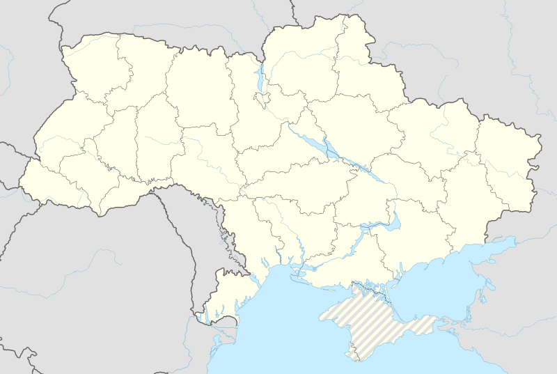 Dunaivtsi Location of Dunaivtsi (UTS), Ukraine | |||
| Coordinates: 49°01′14″N 26°50′17″E / 49.02056°N 26.83806°ECoordinates: 49°01′14″N 26°50′17″E / 49.02056°N 26.83806°E | |||
| Country | Ukraine | ||
| Oblast | Khmelnytskyi Oblast | ||
| Raion | Dunaivtsi | ||
| Area | |||
| • Total | 2.83 km2 (1.09 sq mi) | ||
| Population (2001) | |||
| • Total | 2,755 | ||
| • Density | 973.5/km2 (2,521/sq mi) | ||
| Postal code | 32413 | ||
| Area code(s) | +380 3858 | ||
| Website | rada.gov.ua | ||


Dunaivtsi (Ukrainian: Дунаївці) is a town (urban-type settlement) in Dunaivtsi Raion (district), Khmelnytskyi Oblast (province), Ukraine. Its population is 2 755 inhabitants (census of 2001). A railway station of the Yarmolyntsi—Larga railroad is located in the town. Founded in 1914, Dunaivtsi received the status of the urban-type settlement in 1972.[1]
Dunaivtsi is 22 km from the capital of Dunaivtsi Raion, which is the city of the same name Dunaivtsi.
See also
- Smotrych, the other urban-type settlement in Dunaivtsi Raion
References
This article is issued from Wikipedia - version of the 12/22/2014. The text is available under the Creative Commons Attribution/Share Alike but additional terms may apply for the media files.