Dunsby
| Dunsby | |
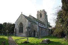
 Church of All Saints, Dunsby |
|
 Dunsby |
|
| Population | 122 (2011) |
|---|---|
| OS grid reference | TF105268 |
| – London | 90 mi (140 km) S |
| District | South Kesteven |
| Shire county | Lincolnshire |
| Region | East Midlands |
| Country | England |
| Sovereign state | United Kingdom |
| Post town | Bourne |
| Postcode district | PE10 |
| Police | Lincolnshire |
| Fire | Lincolnshire |
| Ambulance | East Midlands |
| EU Parliament | East Midlands |
| UK Parliament | Grantham and Stamford |
|
|
Coordinates: 52°49′40″N 0°21′39″W / 52.827819°N 0.360946°W
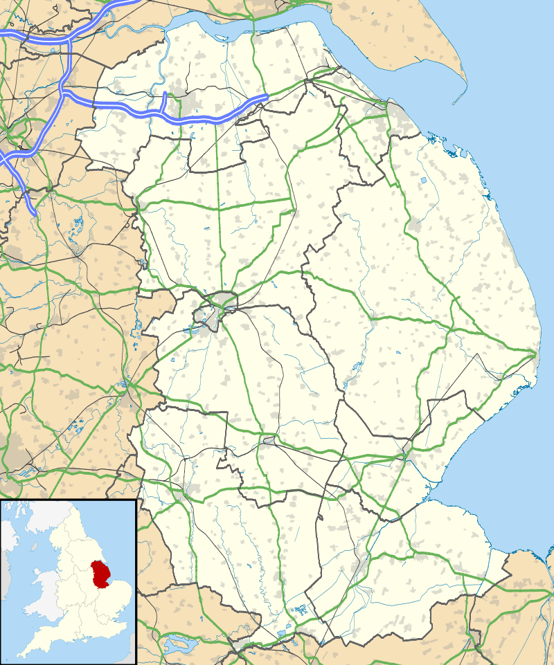
Dunsby is a small village and civil parish in the South Kesteven district of in Lincolnshire, England. It is situated 4 miles (6.4 km) north from Bourne, just east off the A15, and on the western edge of the Lincolnshire Fens. In 2001 it had a population of 141,[1] reducing to 122 at the 2011 census.[2]
The Grade I listed parish church is dedicated to All Saints. Built of ironstone and limestone, it dates from the 12th century, and was restored in 1857.[3]
The village cross is a medieval scheduled monument sited at a road junction in the village, and consists of the base and 8 inches (20 cm) of shaft.[4][5]
Dunsby is mentioned in the Domesday book under the name of Dunesbe. [6]
References
- ↑ Census 2001
- ↑ "Civil parish population 2011". Neighbourhood Statistics. Office for National Statistics. Retrieved 15 May 2016.
- ↑ Historic England. "All Saints church, Dunsby (1165123)". National Heritage List for England. Retrieved 4 April 2015.
- ↑ Historic England. "Village Cross, Dunsby (1009201)". National Heritage List for England. Retrieved 4 April 2015.
- ↑ Historic England. "Village Cross, Dunsby (350589)". PastScape. Retrieved 2 July 2011.
- ↑ Domesday Book
External links
 Media related to Dunsby at Wikimedia Commons
This article is issued from Wikipedia - version of the 10/31/2016. The text is available under the Creative Commons Attribution/Share Alike but additional terms may apply for the media files.