Jyňňylhatap
| Jyňňylhatap | |
|---|---|
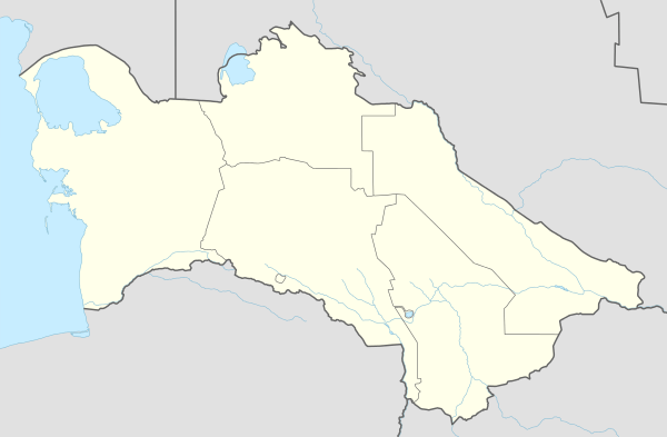 Jyňňylhatap Location in Turkmenistan | |
| Coordinates: 37°39′40″N 65°27′27″E / 37.66111°N 65.45750°ECoordinates: 37°39′40″N 65°27′27″E / 37.66111°N 65.45750°E | |
| Country |
|
| Province | Lebap Province |
| Elevation | 242 m (794 ft) |
Jyňňylhatap or Dzhingilkhatab is a town in eastern Turkmenistan near the border with Afghanistan. It is located in Lebap Province in an important agricultural area on the south bank of the Amu Darya.
Nearby towns and villages include Agar (2.8 nm), Gyzyl Daýhan (4.1 nm), Hatap (3.8 nm) and Çagagüzer (1.7 nm).[1]
See also
References
- ↑ Falling rain gazetteer
External links
This article is issued from Wikipedia - version of the 12/31/2013. The text is available under the Creative Commons Attribution/Share Alike but additional terms may apply for the media files.