Edurumondi
| Edurumondi ఎదురుమొండి | |
|---|---|
| Village | |
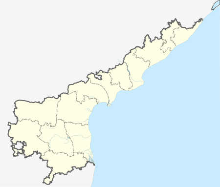
 Edurumondi Location in Andhra Pradesh, India | |
| Coordinates: 15°50′20″N 80°53′18″E / 15.8389°N 80.8883°ECoordinates: 15°50′20″N 80°53′18″E / 15.8389°N 80.8883°E | |
| Country | India |
| State | Andhra Pradesh |
| District | Krishna |
| Area[1] | |
| • Total | 37.56 km2 (14.50 sq mi) |
| Elevation[2] | 9 m (30 ft) |
| Population (2011)[3] | |
| • Total | 5,979 |
| • Density | 160/km2 (410/sq mi) |
| Languages | |
| • Official | Telugu |
| Time zone | IST (UTC+5:30) |
Edurumondi is a village in Krishna district of Indian state of Andhra Pradesh. It is located in Nagayalanka mandal of Machilipatnam revenue division.[1] The village is situated at the mouths of River Krishna, where it empties into Bay of Bengal.[4]
Demographics
As of 2011 Census of India, Edurumondi had a population of 5,979. The total population constitute, 3,126 males and 2,853 females —a sex ratio of 913 females per 1000 males. 638 children are in the age group of 0–6 years, of which 346 are boys and 292 are girls —a ratio of 844 per 1000. The average literacy rate stands at 60.78% with 3,246 literates, significantly lower than the state average of 67.41%.[3][5]
See also
References
- 1 2 "District Census Handbook - Krishna" (PDF). Census of India. p. 16,478. Retrieved 4 February 2016.
- ↑ "Elevation for Edurumondi". Veloroutes. Retrieved 3 October 2014.
- 1 2 "Census 2011". The Registrar General & Census Commissioner, India. Retrieved 3 October 2014.
- ↑ "Krishna District Mandals" (PDF). Census of India. p. 526. Retrieved 21 July 2015.
- ↑ "Literacy of AP (Census 2011)" (PDF). Official Portal of Andhra Pradesh Government. p. 43. Retrieved 5 September 2014.
This article is issued from Wikipedia - version of the 6/29/2016. The text is available under the Creative Commons Attribution/Share Alike but additional terms may apply for the media files.