Efford
Coordinates: 50°23′21″N 4°06′36″W / 50.389167°N 4.11°W
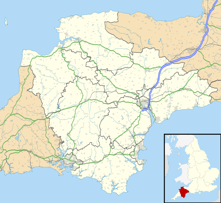
Efford is a large, mostly post-war, eastern suburb of Plymouth in the county of Devon, England.
It stands on high ground above the Laira estuary of the River Plym and variously offers views over long distances: to the north across Dartmoor, to the east and south-east across the South Hams of Devon. It has a core of home owners but is predominantly made up of local authority and housing association properties.
Etymology
One theory of the origin of the name 'Efford' is that it originally comes from the part of this suburb that slopes down towards the River Plym (which is now partly reclaimed and built-on land); before much of the river silted up, ships could Ford here when the river was at the Ebb tide; so it was the Ebbing or Ebb-Ford. Over time, by the natural processes of pronunciation change, the 'b's disappeared and it became Efford. Before this land was built on, it was known as 'The Wilds of Efford', which was largely unspoilt countryside and marsh land. Another theory is that 'Efford' comes from the 'ford', which spanned the Plym from Crabtree to Saltram House. It was only usable during low tide 'ebb', hence the name ebb-ford and later, Efford.
History
Historically the area around Efford had military importance. Efford Fort (at 50°23′26″N 4°5′32″W / 50.39056°N 4.09222°W) was one of the ring of Victorian Palmerston's Follies built to provide defence from risk of French invasion. The area was also heavily occupied by the American army during the preparations for D-Day. This is remembered by the naming of a part of Efford, where an estate of American-supplied prefab houses was built from 1945 onwards, as Little America. Streets there were given names such as California Gardens, Oregon Way etc. These names were retained when the estate was demolished and replaced by modern houses in the 1970s.
Efford Cemetery
A municipal cemetery for Plymouth city, initially 37 acres, was laid out at Efford from 1904 and opened in 1907.[2] It is still in use. Amongst burials are:
- 338 scattered Commonwealth service war graves of World War I,[3] including ten New Zealand soldiers killed by the Bere Ferrers rail accident (1917), and eight members of the Chinese Labour Corps (the largest such number buried in England).[4]
- 109 Commonwealth service war graves of World War II, including five unidentified men, scattered apart from a small group in Section C.[3]
- 12 foreign national war graves of World War II, mainly Greek merchant seamen.[3]
- Mass burials of victims of the Plymouth Blitzes of April and May 1941, including those of an air raid shelter disaster at Portland Square.[2]
- Reburials from disused burial grounds at Charles Street Quaker Burial Ground, St Andrew's Church, Plymouth and Charles Church, Plymouth.[2]
In 1934 Plymouth's City Crematorium was opened within the cemetery. Among those cremated there were:
- 61 Commonwealth service personnel of World War II, who are commemorated on a Screen Wall memorial set in a hedge behind the Cross of Sacrifice.[5]
- James Bulmer Johnson (1889-1943), army VC winner of World War I.[6]
- John Bromley (1876-1945), former Labour Member of Parliament and General Secretary of trade union ASLEF.[7]
References
- ↑ "Plymouth ward population 2011.Retrieved 5 April 2015".
- 1 2 3 Moseley, Brian (September 2013). "Cemeteries and Crematoria". The Encyclopaedia of Plymouth History. Plymouth Data. Archived from the original on 28 September 2012. Retrieved 13 February 2015.
- 1 2 3 CWGC Cemetery Report.
- ↑ The University of Hong Kong Libraries. "Stevens, K., "British Chinese Labour Corps labourers in England", in Journal of the Royal Asiatic Society Hong Kong Branch, Vol. 29, 1989, p. 390" (PDF). Sunzi1.lib.hku.hk. Retrieved 2014-04-10.There are also six buried in Shorncliffe Military Cemetery and three in Anfield Cemetery, Liverpool.
- ↑ CWGC Cemetery Report.
- ↑ Burial locations VC holders - Devon.
- ↑ Oxford Dictionary of National Biography, Volume 7. Oxford University Press. 2004. p. 821. ISBN 0-19-861357-1.Article by Philip S. Bagwell.