English Frankton
| English Frankton | |
 Finger post in English Frankton |
|
 English Frankton |
|
| OS grid reference | SJ450299 |
|---|---|
| Civil parish | Cockshutt |
| Unitary authority | Shropshire |
| Ceremonial county | Shropshire |
| Region | West Midlands |
| Country | England |
| Sovereign state | United Kingdom |
| Post town | ELLESMERE |
| Postcode district | SY12 |
| Dialling code | 01939 |
| Police | West Mercia |
| Fire | Shropshire |
| Ambulance | West Midlands |
| EU Parliament | West Midlands |
| UK Parliament | North Shropshire |
|
|
Coordinates: 52°51′50″N 2°48′58″W / 52.864°N 2.816°W
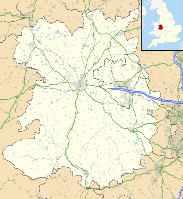
English Frankton, formerly known simply as Frankton, is a small village in Shropshire, England. It lies between the villages of Cockshutt and Loppington, in the civil parish of Cockshutt. The name Frankton probably originated as "Francas's field".[1]
It was recorded in Domesday as Franchetone, when it was held by Rainald the Sheriff from Earl Roger.[2] Domesday also noted that the manor contained one carruca, along with three villeins and two bordarii.
See also
- Welsh Frankton
- Lower Frankton
References
External links
![]() Media related to English Frankton at Wikimedia Commons
Media related to English Frankton at Wikimedia Commons
This article is issued from Wikipedia - version of the 1/24/2016. The text is available under the Creative Commons Attribution/Share Alike but additional terms may apply for the media files.