Erawan National Park
| Erawan National Park | |
|---|---|
|
IUCN category II (national park) | |
|
Erawan Waterfall | |
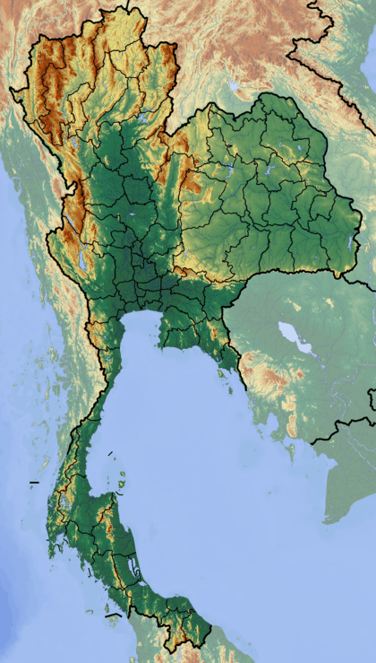
 Map of Thailand | |
| Location | Kanchanaburi Province, Thailand |
| Nearest city | Kanchanaburi |
| Coordinates | 14°23′N 99°07′E / 14.383°N 99.117°ECoordinates: 14°23′N 99°07′E / 14.383°N 99.117°E |
| Area | 550 km² |
| Established | 1975 |
| Governing body | Department of National Park, Wildlife and Plant Conservation (DNP) |
Erawan National Park is a 550 km2 park in western Thailand in the Tenasserim Hills of Kanchanaburi Province, Amphoe Si Sawat in tambon Tha Kradan. Founded in 1975, it was Thailand's 12th national park.
Features
The major attraction of the park is Erawan Falls, a waterfall named after the erawan, the three-headed white elephant of Hindu mythology. The seven-tiered falls are said to resemble the erawan.
There are four caves in the park: Mi, Rua, Wang Bahdan, and Phartat.[1] Rising northeast of the waterfall area there is a breast-shaped hill named Khao Nom Nang.[2]

Tier five, Erawan Waterfall
References
- ↑ Erawan National Park
- ↑ Roadway Thailand Atlas, Groovy Map Co., Ltd. © 4/2010
External links
| Wikimedia Commons has media related to Erawan National Park. |
- National Park, Wildlife and Plant Conservation Department
- Erawan National Park - attractions, species, maps
This article is issued from Wikipedia - version of the 11/19/2016. The text is available under the Creative Commons Attribution/Share Alike but additional terms may apply for the media files.
