Flornes
| Flornes Flora / Floren | |
|---|---|
| Village | |
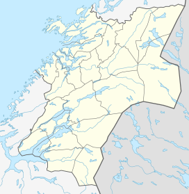 Flornes  Flornes Location in Nord-Trøndelag | |
| Coordinates: 63°27′28″N 11°21′02″E / 63.45778°N 11.35056°ECoordinates: 63°27′28″N 11°21′02″E / 63.45778°N 11.35056°E | |
| Country | Norway |
| Region | Trøndelag |
| County | Nord-Trøndelag |
| District | Stjørdalen |
| Municipality | Stjørdal |
| Elevation[1] | 42 m (138 ft) |
| Time zone | CET (UTC+01:00) |
| • Summer (DST) | CEST (UTC+02:00) |
| Post Code | 7525 Flornes |
Flornes is a village in the municipality of Stjørdal in Nord-Trøndelag county, Norway. It is located in the western part of the municipality along the Stjørdalselva river, about 25 kilometres (16 mi) east of the municipal center of Stjørdalshalsen. The village of Sona lies to the west and the village of Gudå (in Meråker) lies to the east.
The village is the location of the Flora Chapel. The Meråkerbanen railway line stops here at Flornes Station, and the European route E14 highway also runs through the village.
References
This article is issued from Wikipedia - version of the 8/1/2016. The text is available under the Creative Commons Attribution/Share Alike but additional terms may apply for the media files.