Gaflei
| Gaflei | |
|---|---|
| Village | |
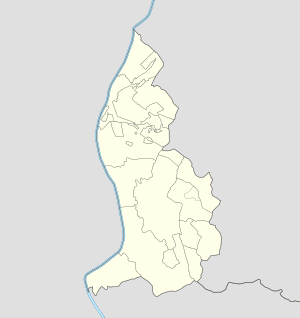 Gaflei Locator map of Gaflei in Liechtenstein | |
| Coordinates: 47°08′N 9°32′E / 47.133°N 9.533°ECoordinates: 47°08′N 9°32′E / 47.133°N 9.533°E | |
| Country |
|
| Electoral district |
|
| Municipality |
|
| Elevation | 865 m (2,838 ft) |
| Time zone | CET (UTC+1) |
| • Summer (DST) | CEST (UTC+2) |
| Postal code | 9497 |
| Area code(s) | (+423) ... |
Gaflei is a village of Liechtenstein, located in the municipality of Triesenberg.[1]
References
- ↑ 4200041712 Gaflei on OpenStreetMap
Villages of Liechtenstein (hamlets of the 11 municipalities) | |||
|---|---|---|---|
This article is issued from Wikipedia - version of the 10/9/2016. The text is available under the Creative Commons Attribution/Share Alike but additional terms may apply for the media files.