Galešnjak
 Galešnjak | |
| Geography | |
|---|---|
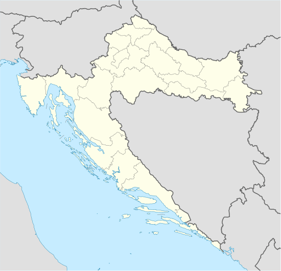
| Location | Adriatic Sea |
| Coordinates | 43°58′41.24″N 15°23′1.14″E / 43.9781222°N 15.3836500°ECoordinates: 43°58′41.24″N 15°23′1.14″E / 43.9781222°N 15.3836500°E |
| Area | 0.132 km2 (0.051 sq mi) |
| Administration | |
| Demographics | |
| Population | 0 |
Galešnjak (also called Island of Love, Lover's Island, Otok za zaljubljene) is located in the Pašman channel of the Adriatic, between the islands of Pašman and the town of Turanj on mainland Croatia. It is one of the world's few naturally occurring heart-shaped objects such as the Heart Reef in the Whitsundays.
The island has a surface area of 0.132 km2, with its beach measuring 1.55 km in length. The island features two peaks, the highest of which is 36 m high above sea level.
Galešnjak is privately owned and contains only wild plants and trees. Human activity recorded on this island are three known Illyrian burial mounds and remains of an ancient building's foundations.
The island's unusual shape was first recorded in the early 19th century by Napoleon's cartographer Charles-François Beautemps-Beaupré, who included it in his 1806 atlas of the Dalmatian coast (kept today at the National and University Library in Zagreb).
The island was highlighted on Google Earth in February 2009, which brought the island to worldwide attention.[1]
Recent activity on the island has created two large scars across the heart, one spanning the island from a pier on the north to the south, and the other to the west of it.
References
- ↑ "Heart-shaped island highlighted by Google Earth becomes hit with lovers". The Daily Telegraph. 11 February 2009. Retrieved 6 June 2010.