Garnahovit
| Garnahovit Գառնահովիտ | |
|---|---|
|
The village of Garnahovit with the imposing Church of S. Gevorg (center). | |
 Garnahovit Գառնահովիտ | |
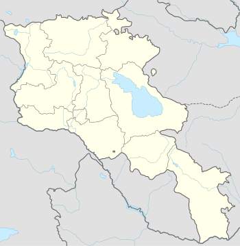
| Coordinates: 40°29′50″N 43°57′20″E / 40.49722°N 43.95556°ECoordinates: 40°29′50″N 43°57′20″E / 40.49722°N 43.95556°E | |
| Country | Armenia |
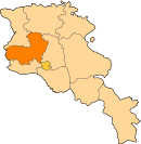
| Marz (Province) | Aragatsotn |
| Area | |
| • Total | 0.47 km2 (0.18 sq mi) |
| Elevation | 2,136 m (7,008 ft) |
| Population (2001) | |
| • Total | 440 |
| • Density | 940/km2 (2,400/sq mi) |
| Time zone | GMT+4 (UTC+4) |

Garnahovit (Armenian: Գառնահովիտ, also Romanized as Garnaovit; until 1946, Adyaman) is a small village in the Aragatsotn Province of Armenia. The village has an imposing mid-7th century church of S. Gevorg. There are other church remains in the gorge to the east and Urartian remains nearby to the east and southeast.[1]
References
This article is issued from Wikipedia - version of the 11/17/2014. The text is available under the Creative Commons Attribution/Share Alike but additional terms may apply for the media files.