Gaule Bjerg
| Gaule Bjerg | |
|---|---|
 Gaule Bjerg | |
| Highest point | |
| Elevation | 2,133 m (6,998 ft) [1] |
| Listing | List of mountains in Greenland |
| Coordinates | 66°55′35″N 38°11′19″W / 66.92639°N 38.18861°WCoordinates: 66°55′35″N 38°11′19″W / 66.92639°N 38.18861°W [1] |
| Geography | |
| Location | King Christian IX Land, Greenland |
| Parent range | Schweizerland |
| Climbing | |
| First ascent | Possibly unclimbed |
Gaule Bjerg is a mountain in King Christian IX Land, Sermersooq Municipality, Greenland.
There is little information about this mountain.
Geography
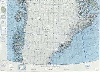
Gaule Bjerg is an isolated nunatak located north of the Fenris Glacier, west of the northern end of the Schweizerland Range.[1] Its elevation is 2,133 metres (6,998 ft).[1] This mountain is marked as a 7,218 feet (2,200 m) high peak in the Defense Mapping Agency Greenland Navigation charts.[2]
 Defense Mapping Agency map of Greenland sheet. |
See also
References
- 1 2 3 4 "Gaule Bjerg". Mapcarta. Retrieved 8 July 2016.
- ↑ 1:1,000,000 scale Operational Navigation Chart, Sheet B-9
External links
This article is issued from Wikipedia - version of the 7/8/2016. The text is available under the Creative Commons Attribution/Share Alike but additional terms may apply for the media files.