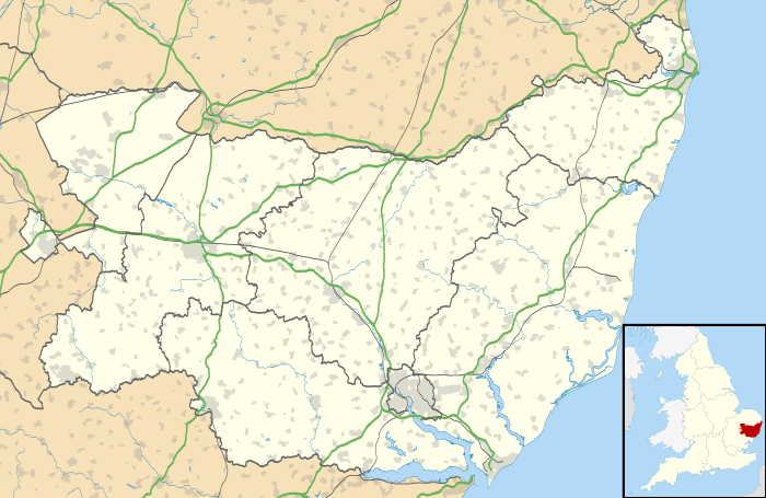
Gazeley
| Gazeley | |
 Gazeley, Church of All Saints |
|
 Gazeley |
|
| Population | 686 (2011)[1] |
|---|---|
| District | Forest Heath |
| Shire county | Suffolk |
| Region | East |
| Country | England |
| Sovereign state | United Kingdom |
| Police | Suffolk |
| Fire | Suffolk |
| Ambulance | East of England |
| EU Parliament | East of England |
Coordinates: 52°14′52″N 0°31′06″E / 52.247904°N 0.518245°E

Signpost in Gazeley
Gazeley is a village and civil parish in the Forest Heath district of Suffolk in eastern England and is part of the West Suffolk UK Parliament constituency. In 2005 it had a population of 740.[1] A house converted windmill survives in the village.
.[2] The surnames of Gazeley, Gazley and Gazlay derive from this source.
The Icknield Way Path passes through the village on its 110 mile journey from Ivinghoe Beacon in Buckinghamshire to Knettishall Heath in Suffolk. The Icknield Way Trail, a multi-user route for walkers, horse riders and off-road cyclists also passes through the village.
References
- 1 2 Estimates of Total Population of Areas in Suffolk Archived December 19, 2008, at the Wayback Machine. Suffolk County Council
- ↑ "Gazeley Parish Newsletter" (PDF).
External links
| Wikimedia Commons has media related to Gazeley. |
- All Saints', Gazeley Suffolk Churches
This article is issued from Wikipedia - version of the 11/14/2016. The text is available under the Creative Commons Attribution/Share Alike but additional terms may apply for the media files.