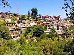
Gijbori
| Gijbori | |
|---|---|
| Town and union council | |
 | |
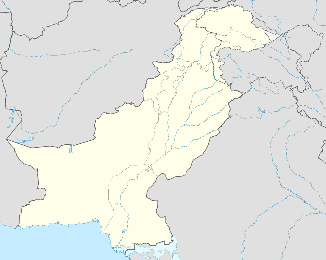 Gijbori Location in Pakistan | |
| Coordinates: 34°39′04″N 72°59′20″E / 34.65111°N 72.98889°ECoordinates: 34°39′04″N 72°59′20″E / 34.65111°N 72.98889°E | |
| Country | Pakistan |
| Province | Khyber Pakhtunkhwa |
| District | Battagram District |
| Tehsil | Battagram Tehsil |
| Village | Gijbori |
| Elevation | 1,090 m (3,580 ft) |
| Time zone | PST (UTC+5) |
| Zip Code | 21061 |
| Area code(s) | 0997 |
Gijbori is a town, and one of twenty union councils of Battagram District in Khyber Pakhtunkhwa province of Pakistan.[1] It comprises many small villages. These include ((sarkhaili banda is head village of this union council torkhail clan is living here and this clan take important role in politics and all problems of district)) Kiar Gali Latif khan, Shingli Bala, kiargali, karwar, malkot and kass is the villages of this union council. It is located at 34°39'04N 72°59'20E and has an altitude of 1090 metres (3488 feet).
References
- ↑ "Tehsils & Unions in the District of Battagram". National Reconstruction Bureau of Pakistan.
Administrative divisions of Battagram District | ||
|---|---|---|
| Capital | ||
| Tehsils | ||
| Union councils | ||
This article is issued from Wikipedia - version of the 10/2/2016. The text is available under the Creative Commons Attribution/Share Alike but additional terms may apply for the media files.