Gjallica
| Gjallica | |
|---|---|
 | |
| Highest point | |
| Elevation | 2,480 m (8,140 ft) |
| Coordinates | 42°00′42″N 20°28′11″E / 42.01167°N 20.46972°ECoordinates: 42°00′42″N 20°28′11″E / 42.01167°N 20.46972°E |
| Geography | |
 Gjallica | |
| Parent range | Dinaric Alps |
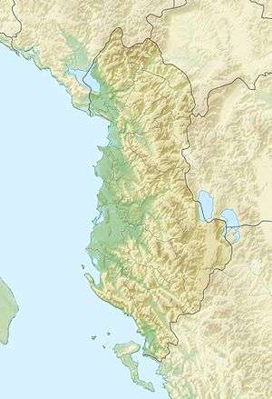
Gjallica (or Gjalica) is the highest mountain (2,489 m (8,166 ft)) in the region of Kukës, Albania, part of the Dinaric Alps.[1] It lies 8 km (5 mi) southeast of the city of Kukës, having a cap covered by snow up to june when the winters are cold and snowy. It has thick vegetation of pines and beeches on high altitude, but sparse vegetation on the foot of the mountain due to the now closed plant that emitted harmful gases for the vegetation close to it. Gjallica appears to be very tall because the Black Drin valley to its west is only 250 m (820 ft) above sea level.[2]
References
- ↑ Peter Dawson; Linda White; Andrea Dawson (March 1995). Albania: a guide and illustrated journal. Bradt Publications. p. 97. ISBN 978-1-898323-10-5.
- ↑ "Albanian or South Dinaric Alps". Summitpost. Retrieved 2008-12-31.
This article is issued from Wikipedia - version of the 11/2/2016. The text is available under the Creative Commons Attribution/Share Alike but additional terms may apply for the media files.