Gobabis Airport
| Gobabis Airport | |||||||||||||||
|---|---|---|---|---|---|---|---|---|---|---|---|---|---|---|---|
| IATA: none – ICAO: FYGB | |||||||||||||||
| Summary | |||||||||||||||
| Airport type | Public | ||||||||||||||
| Serves | Gobabis | ||||||||||||||
| Elevation AMSL | 4,815 ft / 1,468 m | ||||||||||||||
| Coordinates | 22°30′20″S 18°58′30″E / 22.50556°S 18.97500°ECoordinates: 22°30′20″S 18°58′30″E / 22.50556°S 18.97500°E | ||||||||||||||
| Map | |||||||||||||||
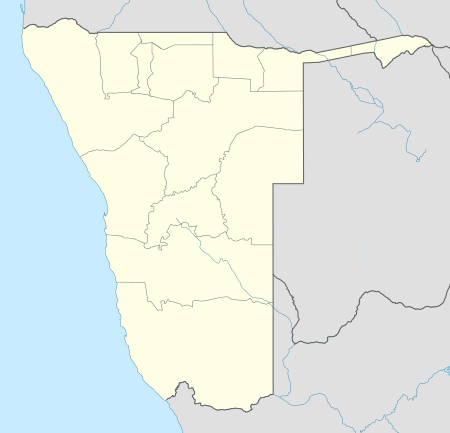 Gobabis Location of the airport in Namibia | |||||||||||||||
| Runways | |||||||||||||||
| |||||||||||||||
Gobabis Airport (ICAO: FYGB) is an airport serving the town of Gobabis, Namibia.
See also
 Aviation portal
 Namibia portal
- List of airports in Namibia
- Transport in Namibia
References
- ↑ Google Maps - Gobabis
- ↑ Airport information for FYGB at Great Circle Mapper.
Google Earth
External links
This article is issued from Wikipedia - version of the 11/8/2016. The text is available under the Creative Commons Attribution/Share Alike but additional terms may apply for the media files.