Golfo de Morrosquillo Airport
| Golfo de Morrosquillo Airport Aeropuerto Golfo de Morrosquillo Tolu Airport Aeropuerto de Tolú | |||||||||||
|---|---|---|---|---|---|---|---|---|---|---|---|
| IATA: TLU – ICAO: SKTL | |||||||||||
| Summary | |||||||||||
| Airport type | Public | ||||||||||
| Owner/Operator | Aerocivil | ||||||||||
| Location | Tolú, Colombia | ||||||||||
| Elevation AMSL | 13.1 ft / 4 m | ||||||||||
| Coordinates | 9°30′42″N 75°35′11″W / 9.51167°N 75.58639°WCoordinates: 9°30′42″N 75°35′11″W / 9.51167°N 75.58639°W | ||||||||||
| Map | |||||||||||
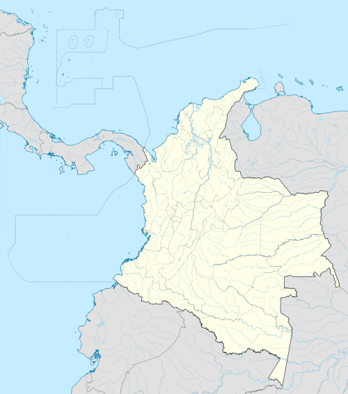 SKTL Location in Sucre, Colombia | |||||||||||
| Runways | |||||||||||
| |||||||||||
Golfo de Morrosquillo Airport (IATA: TLU, ICAO: SKTL) is a commercial airport serving the municipality of Tolú in Colombia. The airport was refurbished in 2010 extending its terrain and runway. Currently Aerolínea de Antioquia is the only airline that serves this airport, using 19-seat passenger aircraft.
Airport Renovation
The Special Administrative Unit of Civil Aeronautics of Colombia invested 4.425.000.000 COP ($2,500,000 USD app) to expand the airport in 2010. The airport expanded its area from 100 m2 to 825 m2 and its runway from 850 mts (2.788 fts) to 1350 mts (4429 fts).[1]
Aerolínea de Antioquia reported a commercial flights climb of 10.7 to this airport compared to 2009.
Airlines and destinations
| Airlines | Destinations |
|---|---|
| | Medellín-Olaya Herrera |
References
This article is issued from Wikipedia - version of the 12/4/2016. The text is available under the Creative Commons Attribution/Share Alike but additional terms may apply for the media files.