Grand Bénare
| Grand Bénare | |
|---|---|
|
Grand Bénare seen from Mafate with the hamlet of Marla in the foreground | |
| Highest point | |
| Elevation | 2,898 m (9,508 ft) |
| Coordinates | 21°06′58″S 55°25′22″E / 21.11611°S 55.42278°ECoordinates: 21°06′58″S 55°25′22″E / 21.11611°S 55.42278°E |
| Geography | |
 Grand Bénare | |
| Climbing | |
| Easiest route | From Maïdo |
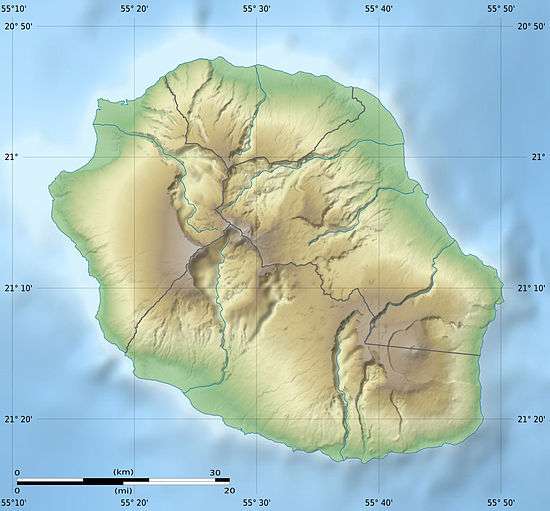
The Grand Bénare is a volcanic peak on the island of Réunion, located in the Western part of the island, overlooking the "Cirque de Mafate" and "Cirque de Cilaos". It is the third highest peak on the island, after the Piton des Neiges and the Gros Morne.
This article is issued from Wikipedia - version of the 8/20/2013. The text is available under the Creative Commons Attribution/Share Alike but additional terms may apply for the media files.