Gunnarstorp
| Gunnarstorp | |
|---|---|
 Gunnarstorp 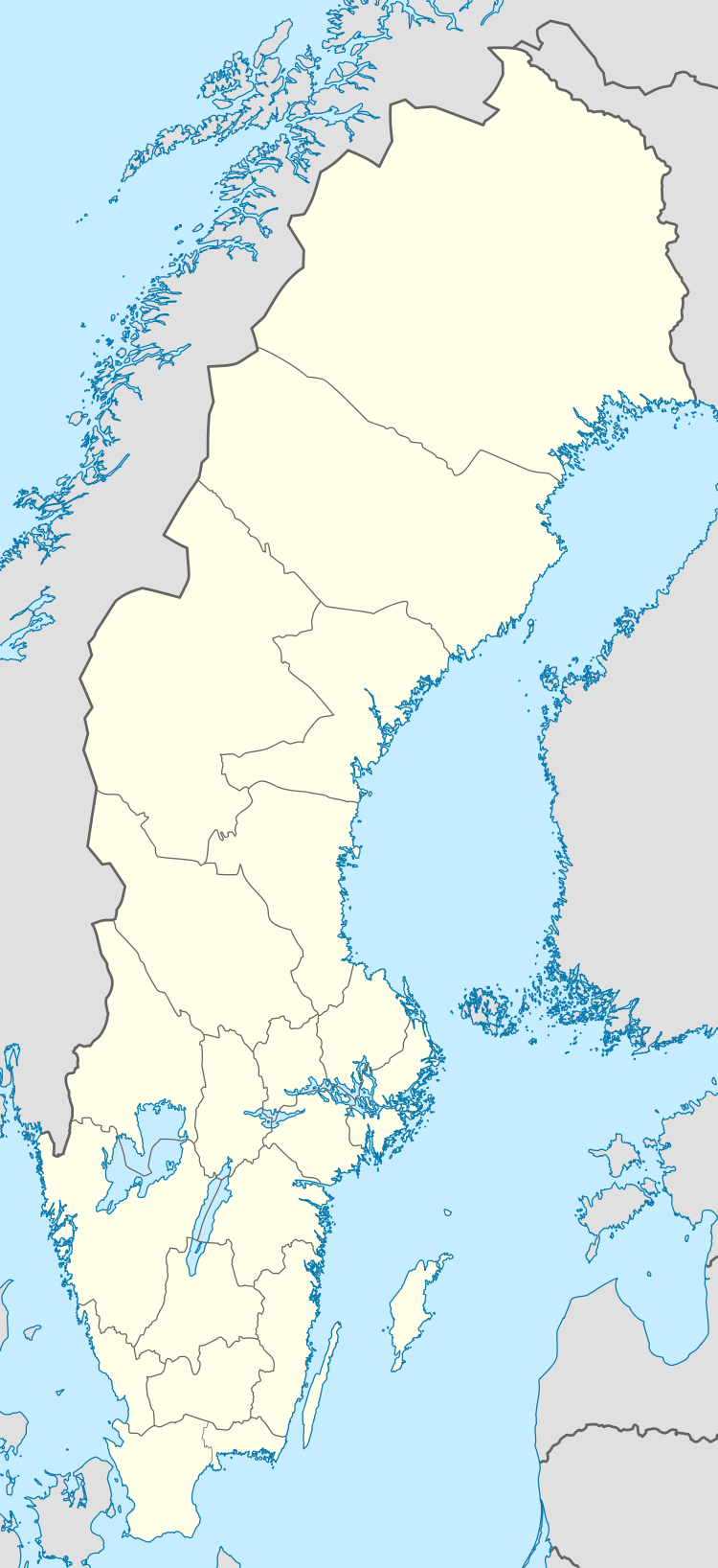 Gunnarstorp | |
| Coordinates: 56°06′N 12°55′E / 56.100°N 12.917°ECoordinates: 56°06′N 12°55′E / 56.100°N 12.917°E | |
| Country | Sweden |
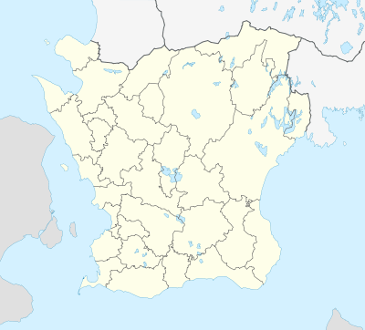
| Province | Skåne |
| County | Skåne County |
| Municipality | Bjuv Municipality |
| Area[1] | |
| • Total | 0.42 km2 (0.16 sq mi) |
| Population (31 December 2010)[1] | |
| • Total | 401 |
| • Density | 950/km2 (2,500/sq mi) |
| Time zone | CET (UTC+1) |
| • Summer (DST) | CEST (UTC+2) |
Gunnarstorp is a locality situated in Bjuv Municipality, Skåne County, the most southerly province in Sweden.
There were 401 inhabitants in 2010, up from 360 five years earlier.[1]
The town grew up around a mine that was sunk in 1910 and worked between 1913 and 1946.
References
- 1 2 3 "Tätorternas landareal, folkmängd och invånare per km2 2005 och 2010" (in Swedish). Statistics Sweden. 14 December 2011. Archived from the original on 10 January 2012. Retrieved 10 January 2012.
This article is issued from Wikipedia - version of the 8/6/2016. The text is available under the Creative Commons Attribution/Share Alike but additional terms may apply for the media files.