Gyeyangsan
| Gyeyangsan | |
|---|---|
_01.JPG) Gyeyangsan Mountain, looking west from the trail leading to the summit | |
| Highest point | |
| Elevation | 395 m (1,296 ft) [1] |
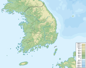
| Coordinates | 37°33′11″N 126°42′54″E / 37.553°N 126.715°ECoordinates: 37°33′11″N 126°42′54″E / 37.553°N 126.715°E |
| Geography | |
 Gyeyangsan | |
| Korean name | |
| Hangul | 계양산 |
| Hanja | 桂陽山 |
| Revised Romanization | Gyeyangsan |
| McCune–Reischauer | Kyeyangsan |
Gyeyangsan is a mountain located in Incheon, South Korea. It has an elevation of 395 m (1,296 ft).[1] Its elevation is second highest in Incheon next to the elevation of Manisan (Incheon) which is located in Gwanghwa Island. On the top of the mountain, people can see Gimpo Airport and the view of Seoul on the east, various islands such as Gwanghwa Island and Yeongjongdo on the west, Goyang on the north, and whole view of Incheon on the south. It is one of the symbols that represent Incheon.
See also
- Geography of Korea
- List of mountains in Korea
- List of mountains by elevation
- Mountain portal
- South Korea portal
References
- 1 2 "계양산성 박물관 2016년 만든다". Channel A. 24 April 2013. Retrieved 9 July 2013.
This article is issued from Wikipedia - version of the 9/16/2016. The text is available under the Creative Commons Attribution/Share Alike but additional terms may apply for the media files.