Höhronen
| Höhronen | |
|---|---|
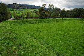 The Höhronen (background centre) from the north side | |
| Highest point | |
| Elevation | 1,229 m (4,032 ft) |
| Prominence | 216 m (709 ft) [1] |
| Parent peak | Morgartenberg |
| Coordinates | 47°09′35″N 8°40′32″E / 47.15972°N 8.67556°ECoordinates: 47°09′35″N 8°40′32″E / 47.15972°N 8.67556°E |
| Geography | |
 Höhronen Location in Switzerland | |
| Location | Zurich/Zug, Switzerland |
| Parent range | Schwyzer Alps |
The Höhronen (1,229 m) is a mountain of the Swiss Prealps, located on the border between the Swiss cantons of Zurich and Zug. It lies approximately halfway between Lake Zurich and Lake Ägeri.
West of a secondary summit named Wildspitz (1,205 m) is located the tripoint between the cantons of Zurich, Zug and Schwyz. The tripoint, located at a height of 1,186 metres, is marked by a stone named Dreiländerstein.
References
External links
 Media related to Höhronen at Wikimedia Commons
- Höhronen on Hikr
This article is issued from Wikipedia - version of the 5/9/2016. The text is available under the Creative Commons Attribution/Share Alike but additional terms may apply for the media files.