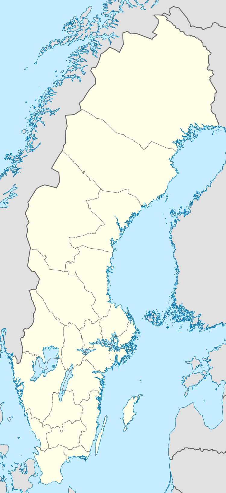
Hagfors
| Hagfors | |
|---|---|
|
Aerial view of Hagfors in 2006 | |
 Hagfors | |
| Coordinates: 60°02′N 13°39′E / 60.033°N 13.650°ECoordinates: 60°02′N 13°39′E / 60.033°N 13.650°E | |
| Country | Sweden |
| Province | Värmland |
| County | Värmland County |
| Municipality | Hagfors Municipality |
| Area[1] | |
| • Total | 6.13 km2 (2.37 sq mi) |
| Population (31 December 2010)[1] | |
| • Total | 12,125 |
| • Density | 840/km2 (2,200/sq mi) |
| Time zone | CET (UTC+1) |
| • Summer (DST) | CEST (UTC+2) |
| Climate | Dfb |
Hagfors is a locality and the seat of Hagfors Municipality, Värmland County, Sweden with 10,125 inhabitants in 2010.[1]
Its history is traced to 1873, when it was decided to build two blast furnaces at the location.
The town of Hagfors plays host to the Swedish Rally, a car rally, every February, which provides a significant annual economic windfall for the region.
Hagfors was one of the last places in Sweden to receive the formal title of a city, when it was detached from Norra Råda in 1950. The designated coat of arms was a tribute to the furnaces. At that time the town had 6,501 inhabitants. Today it is the seat of the much larger Hagfors Municipality, but is not an administrative entity of its own.
Climate
The Hagfors area has a subarctic climate due to the area's cool nights. The official weather station is located in Gustavsfors, a rural locality 13 kilometres (8.1 mi) to the north at a similar altitude. The climate type is very unusual for subarctic climate since summer days are warm in combination with winter average highs being just below freezing with lows only being around −10 °C (14 °F). Cold extremes are frequent for such a southerly area, with an all-time low of −42 °C (−44 °F) being unique for a Swedish area just north of 60 degrees latitude. It being a subarctic climate is a result of the low September night temperatures. Given that Gustavsfors is located somewhat north and Hagfors being a little bit more urban, it is quite possible that the locality just reaches the continental threshold that would require 10 °C (50 °F) September mean temperatures. In terms of the official reference period of 1961-1990 however, the area is firmly subarctic.
| Climate data for Gustavsfors (2002-2015 temp averages, 1961-1990 precipitation, extremes since 1917) | |||||||||||||
|---|---|---|---|---|---|---|---|---|---|---|---|---|---|
| Month | Jan | Feb | Mar | Apr | May | Jun | Jul | Aug | Sep | Oct | Nov | Dec | Year |
| Record high °C (°F) | 8.8 (47.8) |
11.3 (52.3) |
17.7 (63.9) |
25.2 (77.4) |
28.5 (83.3) |
33.4 (92.1) |
33.4 (92.1) |
34.4 (93.9) |
27.2 (81) |
20.2 (68.4) |
13.1 (55.6) |
9.8 (49.6) |
34.4 (93.9) |
| Average high °C (°F) | −1.9 (28.6) |
−0.6 (30.9) |
3.4 (38.1) |
10.7 (51.3) |
15.4 (59.7) |
19.6 (67.3) |
22.0 (71.6) |
20.3 (68.5) |
15.6 (60.1) |
8.5 (47.3) |
3.4 (38.1) |
−1.3 (29.7) |
8.7 (47.7) |
| Daily mean °C (°F) | −5.8 (21.6) |
−5.2 (22.6) |
−2.0 (28.4) |
4.3 (39.7) |
9.0 (48.2) |
12.9 (55.2) |
15.8 (60.4) |
14.4 (57.9) |
9.8 (49.6) |
4.3 (39.7) |
0.2 (32.4) |
−4.9 (23.2) |
4.4 (39.9) |
| Average low °C (°F) | −9.6 (14.7) |
−9.6 (14.7) |
−7.4 (18.7) |
−2.2 (28) |
2.7 (36.9) |
6.3 (43.3) |
9.6 (49.3) |
8.4 (47.1) |
3.9 (39) |
0.0 (32) |
−3.0 (26.6) |
−8.5 (16.7) |
−0.7 (30.7) |
| Record low °C (°F) | −42.0 (−43.6) |
−38.0 (−36.4) |
−31.7 (−25.1) |
−26.6 (−15.9) |
−9.4 (15.1) |
−3.9 (25) |
−0.9 (30.4) |
−3.4 (25.9) |
−8.2 (17.2) |
−17.6 (0.3) |
−27.9 (−18.2) |
−35.4 (−31.7) |
−42.0 (−43.6) |
| Average precipitation mm (inches) | 41.7 (1.642) |
29.4 (1.157) |
34.6 (1.362) |
39.3 (1.547) |
48.2 (1.898) |
68.0 (2.677) |
79.9 (3.146) |
80.2 (3.157) |
75.6 (2.976) |
65.2 (2.567) |
62.3 (2.453) |
47.0 (1.85) |
671.3 (26.429) |
| Source #1: SMHI Precipitation normals 1961-1990[2] | |||||||||||||
| Source #2: SMHI average data 2002-2015[3] | |||||||||||||
Transportation
Hagfors Airport is located at the town's border. There are flights with Nextjet to Stockholm Arlanda and Torsby.
References
| Wikimedia Commons has media related to Hagfors. |
- 1 2 3 "Tätorternas landareal, folkmängd och invånare per km2 2005 och 2010" (in Swedish). Statistics Sweden. 14 December 2011. Archived from the original on 10 January 2012. Retrieved 10 January 2012.
- ↑ "Average Precipitation for Stations" (in Swedish). Swedish Metereological and Hydrological Institute (Gustavsfors code 10 309). Retrieved 16 March 2016.
- ↑ "Annual and Monthly Statistics". SMHI. 16 March 2016.