Halford, Shropshire
| Halford | |
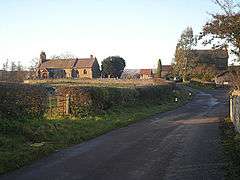 The church at Halford |
|
 Halford |
|
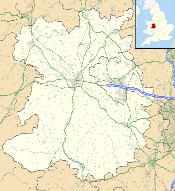
| OS grid reference | SO435833 |
|---|---|
| Civil parish | Craven Arms |
| Unitary authority | Shropshire |
| Ceremonial county | Shropshire |
| Region | West Midlands |
| Country | England |
| Sovereign state | United Kingdom |
| Post town | CRAVEN ARMS |
| Postcode district | SY7 |
| Dialling code | 01588 |
| Police | West Mercia |
| Fire | Shropshire |
| Ambulance | West Midlands |
| EU Parliament | West Midlands |
| UK Parliament | Ludlow |
|
|
Coordinates: 52°26′42″N 2°49′48″W / 52.445°N 2.830°W
Halford is a hamlet in south Shropshire, England. It lies just east of the small town of Craven Arms, on the other side of the River Onny.
It was once the centre of a separate civil parish, but is now part of the civil parish of Craven Arms, which was formed by merging the parish of Halford with that of Stokesay. These two older entities continued as parish wards, however a review of the governance of Craven Arms in 2012 concluded that these two wards will be abolished from May 2013.[1]
Until the 19th century, Halford was a detached part of the parish of Bromfield. The detached part ran up Long Lane, on the other side of the River Onny. Being part of Bromfield brought it into the hundred of Culvestan and from c. 1100 that of Munslow (Lower Division). Bromfield Priory held land at Halford, explaining the connection.[2]
References
- ↑ Shropshire Council Governance Review - Craven Arms
- ↑ British history online Bromfield Priory
External links
![]() Media related to Halford, Shropshire at Wikimedia Commons
Media related to Halford, Shropshire at Wikimedia Commons