Herron Glacier
| Herron Glacier | |
|---|---|
| Type | Valley glacier |
| Location | Denali Borough, Alaska |
| Coordinates | 63°03′18″N 151°36′54″W / 63.05500°N 151.61500°WCoordinates: 63°03′18″N 151°36′54″W / 63.05500°N 151.61500°W |
| Length | 14 miles (23 km) |
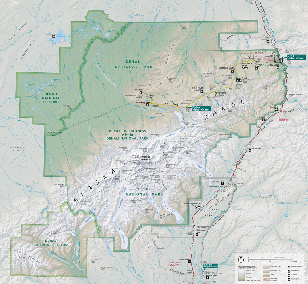
Herron Glacier is a glacier in Denali National Park and Preserve in the U.S. state of Alaska. The glacier begins in the Alaska Range on the north side of Mount Foraker, moving northwest for 14 miles (23 km). It is the source of the Herron River.[1][2] The name was given by A.H. Brooks of the U.S. Geological Survey to honor Lt. Joseph S. Herron, who mapped much of the region.[3]
See also
Cited references
- ↑ "Map of Denali National Park and Preserve". Denali National Park and Preserve. National Park Service. Retrieved 25 March 2013.
- ↑ Denali National Park and Preserve (Map). !:225,000. National Geographic Maps. 2007. ISBN 978-1-56695-328-3.
- ↑ "Herron Glacier". Geographic Names Information System. United States Geological Survey. Retrieved 2013-03-29.
This article is issued from Wikipedia - version of the 12/21/2015. The text is available under the Creative Commons Attribution/Share Alike but additional terms may apply for the media files.