Hohe Bühl
| Hohe Bühl | |
|---|---|
 Hohe Bühl | |
| Highest point | |
| Elevation | 444 m above sea level (NN) (1,457 ft) |
| Coordinates | 49°29′46″N 7°59′49″E / 49.49611°N 7.99694°ECoordinates: 49°29′46″N 7°59′49″E / 49.49611°N 7.99694°E |
| Geography | |
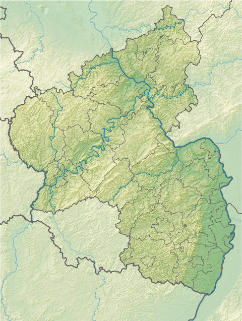
| Location | Rhineland-Palatinate, Germany |
| Parent range | Palatine Forest |
| Geology | |
| Mountain type | Bunter sandstone |
The Hohe Bühl is a hill in the northern Palatine Forest in the German state of Rhineland-Palatinate, with a height of 444 m above sea level (NN).
The hill straddles the parishes of Enkenbach-Alsenborn to the west and Carlsberg to the east and there is a small viewing tower at the top of its domed summit. The A 6 motorway from Saarbrücken to Mannheim runs past the top of the hill just to the south; this is the highest point on the motorway. The Eisbach river, a tributary of the Rhine, rises on the northern slopes of the mountain at a height of about 290 m above NN. Two kilometres downstream it is impounded to form the Eiswoog lake.
This article is issued from Wikipedia - version of the 12/6/2015. The text is available under the Creative Commons Attribution/Share Alike but additional terms may apply for the media files.