Iskay Ch'utu
| Iskay Ch'utu | |
|---|---|
 Iskay Ch'utu Location within Bolivia | |
| Highest point | |
| Elevation | 3,440 m (11,290 ft) [1] |
| Coordinates | 17°53′52″S 65°45′27″W / 17.89778°S 65.75750°WCoordinates: 17°53′52″S 65°45′27″W / 17.89778°S 65.75750°W |
| Geography | |
| Location |
Bolivia, Cochabamba Department |
| Parent range | Andes |
Iskay Ch'utu (Quechua iskay two, ch'utu cone,[2] "two cones", also spelled Iskay Chuto) is a mountain in the Bolivian Andes which reaches a height of approximately 3,440 m (11,290 ft). It is located in the Cochabamba Department, Mizque Province, Vila Vila Municipality. Iskay Ch'utu lies northeast of Jatun Urqu and southeast of Tikrasqa.[1][3]
References
- 1 2 Bolivia 1:100,000 Punata 3735
- ↑ Teofilo Laime Ajacopa, Diccionario Bilingüe Iskay simipi yuyayk'ancha, La Paz, 2007 (Quechua-Spanish dictionary)
- ↑ "Vila Vila". INE, Bolivia. Retrieved April 4, 2016.
Capital: Cochabamba | ||
| Provinces | 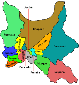 | |
| Municipalities (and seats) |
| |
This article is issued from Wikipedia - version of the 4/5/2016. The text is available under the Creative Commons Attribution/Share Alike but additional terms may apply for the media files.