Ivanpah Valley Airport
| Ivanpah Valley Airport | |
|---|---|
| IATA: none – ICAO: none | |
| Summary | |
| Serves | Las Vegas, Nevada |
| Coordinates | 35°41′20.15″N 115°21′35.26″W / 35.6889306°N 115.3597944°WCoordinates: 35°41′20.15″N 115°21′35.26″W / 35.6889306°N 115.3597944°W |
| Map | |
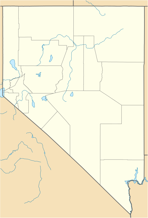 Ivanpah Valley Airport Location within Nevada | |
Ivanpah Valley Airport is a planned relief airport for McCarran International Airport in the Las Vegas metropolitan area, to be located in the Ivanpah Valley of the Mojave Desert, within Clark County, Nevada.
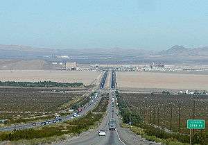
Since there is only limited space left for expansion at McCarran, due to being located adjacent to the Las Vegas Strip, a new airport is the only alternative to increase capacity by a significant amount. The project is on hold as of June 2010.[1] The airport location will be approximately 5 miles southwest of the Jean Airport. It is unknown if the Jean Airport will be closed once the new airport is opened. However, it is more than likely due to the runways lining up and the interference between the small general aviation aircraft and the commercial jets.
History
Legislation was signed on October 28, 2000, allowing Clark County to purchase land for a new commercial airport. The county was to buy 6,500 acres (2,600 ha) of land in the Ivanpah Valley from the Bureau of Land Management, about 30 miles (48 km) southwest of McCarran International Airport for the Ivanpah Airport. The location is between the towns of Jean and Primm.
The airport had been planned to open in 2017.[2] However the Clark County Department of Aviation announced the project was put on temporary hold as of June 2010 due to the Great Recession, until air traffic and tourism demands to Metro Las Vegas returns and increases.[1]
Construction
Clark County Department of Aviation hoped to start construction in 2010 and open the facility in 2017. These dates were based on McCarran reaching 90% (49.5 million passengers) of its projected capacity of 55 million passengers in 2017. At that time, McCarran was expected to be at 55 million passengers in 2011.[3] The economic recession of 2007-2010 has slowed demand considerably in the Las Vegas region and as a result, planning for the airport has slowed. The federal environmental review process has been temporarily suspended and planning has slowed as well.
Most recently the project was working to meet the lengthy environmental studies required for major projects. The engineering consultant firm Vanasse Hangen Brustlin, Inc. was chosen as the firm to help prepare the Environmental Impact Statement for the airport.[4]
Access
Primary road access to the area is currently via Interstate 15 and Las Vegas Boulevard. It is also located near the Union Pacific mainline that Amtrak has proposed to use for a high-speed train to California. It is also expected to be near the proposed XpressWest (formerly DesertXpress) high-speed rail line, for which the necessary federal loan application was suspended in 2013.
The also stalled California-Nevada Interstate Maglev line to connect Las Vegas with California was to terminate at the new airport.
References
- 1 2 Choate, Alan (June 11, 2010). "Ivanpah Airport in a holding pattern". Las Vegas Review-Journal. Retrieved 2015-04-29.
- ↑ Stutz, Howard (February 13, 2007). "Nevada Landing about to sink". Las Vegas Review-Journal. Retrieved 2007-03-26.
- ↑ "Vision2020: What happens when demand at McCarran exceeds 53 million passengers?". McCarran International Airport. Retrieved 2007-07-27.
- ↑ Mueller, Chuck (November 29, 2005). "Proposed Las Vegas Airport Stirs Environmental Concerns". The San Bernardino Sun. Retrieved 2015-04-29.
External links
- Ivanpah Valley Airport (page at McCarran Int'l web site)
- Southern Nevada Supplemental Airport (SNSA) Environmental Impact Statement (EIS)
- Map of proposed airport location (JPEG)
- Planned Runways (map)