Jasper Intermediate Field
| Jasper Intermediate Field | |
|---|---|
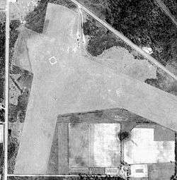
|
1947 airphoto | |
| IATA: none – ICAO: none | |
| Summary | |
| Serves | Jasper |
| Coordinates | 30°28′56″N 082°55′34″W / 30.48222°N 82.92611°W |
| Map | |
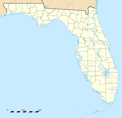 Location of Jasper CAA Site | |
Jasper Intermediate Field is a closed airport. It was located 2.8 miles south-southeast of Jasper, Florida.
History
Jasper Intermediate Field (or Site 43) was one of the Department of Commerce's network of emergency landing airfields, which were established in the 1930s for the emergency use of commercial aircraft flying along Airways between major cities. Site 43 was an Intermediate Field along the New Orleans – Jacksonville Airway. It consisted of two sod runways: 1,800' southeast/northwest & 1,600' northwest/southeast.
During World War II, it was used as an unmanned emergency landing airfield by Army and Navy aircraft. After the war it was abandoned, and by 1950 was forgotten and unusable.
It appears to have been a forestry project sometime in the 1960s or 1970s, as rows of trees have been planted on the former airfield, the trees being planted in neat rows which follow the outlines of the former airport; its boundaries being easily delineated by the boundaries of the tree planting project in aerial imagery.
See also
References
![]() This article incorporates public domain material from the Air Force Historical Research Agency website http://www.afhra.af.mil/.
This article incorporates public domain material from the Air Force Historical Research Agency website http://www.afhra.af.mil/.