Jiwani
| Jiwani جِيوانى | |
|---|---|
| City | |
|
Jiang jiwani
, Pakistan | |
 Jiwani | |
| Coordinates: 25°18′N 61°26′E / 25.3°N 61.44°E | |
| Country |
|
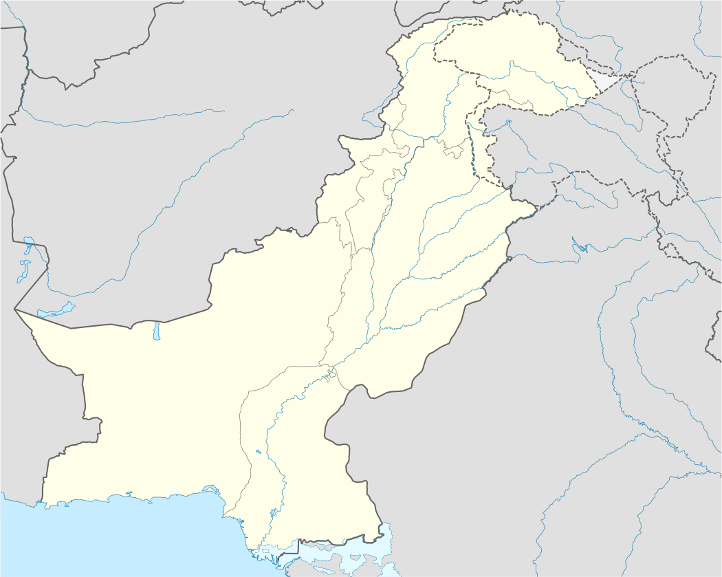
| Province | Balochistan |
| Population | |
| • Total | 25,000 |
| Time zone | PST (UTC+5) |
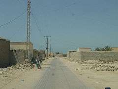
Jiwani or Jwani (Urdu: جِيوانى), is a town and commercial port that is located along the Gulf of Oman in the Gwadar District of the Balochistan province in Pakistan. It is located near the Pakistani border with Iran. The town has a total population of 25,000 and is expected to become a major commercial center in concert with the development of the port of Gwadar located nearly 80 kilometres (50 mi) to the east.
Overview
Jiwani is located at the eastern end of Gwadar Bay, which is shared between Iran and Pakistan. The area around the bay includes an important mangrove forest extending across the international border, and is an important habitat for a wide variety of wildlife, especially the endangered Olive Ridley and Green Turtles. Plans to grant fishing concessions and offshore drilling rights are potentially a threat to the wildlife of the area. The population largely depends upon fishing. There are a number of export oriented fish freezing plants located in Jiwani. Jiwani is 34 kilometres (21 mi) from the Iranian border.
Jiwani holds strategic importance in the region, located immediately adjacent to the shipping lanes to and from the Persian Gulf. This is the main reason that the town hosts a small naval base and an airport with a 1,700-metre (5,500 ft) runway.
Jiwani was used during the World War II as an allied airfield and the remains of some airfields are still available. Another story linked to Jiwani is that Queen Victoria planned to visit the area to watch the "sunset" and a hut was built for her, which is now known as the "Victoria Hut". Whether Queen Victoria visited or not, the Victoria Hut is still maintained by the Pakistan Coast Guards up to the present day. Visiting the accommodation area of the airfield base used during World War II in Jiwani reveals many handwritten small stories and names of allied pilots. There is a water system which is now abandoned for use but is a marvel of civil works for meeting water requirements of the station. It used to store rain water in three stages in order to clean the water using its usual flow. The water was then pumped to the airfield, and also up to the Victoria Hut, which is nearly 5 kilometres (3 mi) from the water tank system.
The Makran Coastal Highway now reaches Jiwani from Gwadar and also connects to Karachi.
Climate
Jiwani has a hot desert climate (Köppen climate classification BWh) with hot summers and warm winters. Most rainfall falls in winter, although there is sometimes a little rain in the monsoon season (July–August) as well.
| Climate data for Jiwani | |||||||||||||
|---|---|---|---|---|---|---|---|---|---|---|---|---|---|
| Month | Jan | Feb | Mar | Apr | May | Jun | Jul | Aug | Sep | Oct | Nov | Dec | Year |
| Record high °C (°F) | 31.1 (88) |
33.0 (91.4) |
39.0 (102.2) |
40.5 (104.9) |
45.0 (113) |
48.0 (118.4) |
42.5 (108.5) |
39.5 (103.1) |
41.1 (106) |
40.5 (104.9) |
37.2 (99) |
31.1 (88) |
48 (118.4) |
| Average high °C (°F) | 23.9 (75) |
24.8 (76.6) |
28.4 (83.1) |
31.6 (88.9) |
34.0 (93.2) |
34.1 (93.4) |
32.5 (90.5) |
31.1 (88) |
31.4 (88.5) |
32.4 (90.3) |
29.4 (84.9) |
25.4 (77.7) |
29.92 (85.84) |
| Daily mean °C (°F) | 19.0 (66.2) |
20.0 (68) |
23.6 (74.5) |
26.8 (80.2) |
29.5 (85.1) |
30.7 (87.3) |
30.0 (86) |
28.6 (83.5) |
27.9 (82.2) |
27.2 (81) |
23.9 (75) |
20.4 (68.7) |
25.63 (78.14) |
| Average low °C (°F) | 14.1 (57.4) |
15.2 (59.4) |
18.8 (65.8) |
22.1 (71.8) |
25.1 (77.2) |
27.4 (81.3) |
27.4 (81.3) |
26.1 (79) |
24.5 (76.1) |
22.0 (71.6) |
18.3 (64.9) |
15.2 (59.4) |
21.35 (70.43) |
| Record low °C (°F) | 3.9 (39) |
6.0 (42.8) |
11.0 (51.8) |
15.6 (60.1) |
19.0 (66.2) |
22.8 (73) |
21.5 (70.7) |
21.7 (71.1) |
18.3 (64.9) |
13.0 (55.4) |
5.6 (42.1) |
3.9 (39) |
3.9 (39) |
| Average precipitation mm (inches) | 27.3 (1.075) |
33.4 (1.315) |
9.9 (0.39) |
6.0 (0.236) |
0.2 (0.008) |
0.6 (0.024) |
7.7 (0.303) |
3.6 (0.142) |
0.2 (0.008) |
0.2 (0.008) |
4.5 (0.177) |
20.3 (0.799) |
113.9 (4.485) |
| Mean monthly sunshine hours | 273.0 | 254.1 | 281.1 | 287.9 | 332.0 | 280.5 | 214.2 | 206.7 | 254.3 | 307.5 | 294.2 | 272.3 | 3,257.8 |
| Source: NOAA (1961-1990) [1] | |||||||||||||
See also
- Jiwani Airport
- Jiwani Coastal Wetland
- Jiwani Art Academy, Jiwani
References
- ↑ "Jiwani Climate Normals 1961-1990". National Oceanic and Atmospheric Administration. Retrieved January 18, 2013.
Coordinates: 25°03′N 61°44′E / 25.050°N 61.733°E