Khao Kho
| Khao Kho | |
|---|---|
| เขาค้อ | |
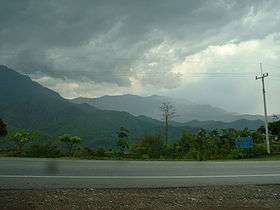
 Khao Kho seen from Thailand Route 12 | |
| Highest point | |
| Elevation | 1,143 m (3,750 ft) [1] |
| Listing | List of mountains in Thailand |
| Coordinates | 16°36′54″N 100°59′08″E / 16.61500°N 100.98556°ECoordinates: 16°36′54″N 100°59′08″E / 16.61500°N 100.98556°E |
| Geography | |
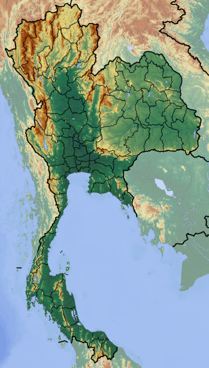
 Khao Kho Thailand | |
| Location | Phetchabun Province, Thailand |
| Parent range | Phetchabun Mountains, western range |
| Climbing | |
| First ascent | Unknown |
| Easiest route | drive or hike |
Khao Kho (Thai: เขาค้อ), is a 1143 m high mountain in Phetchabun Province, Thailand. It is located in Khao Kho District, giving its name to the district. This mountain is part of the western range of the Phetchabun Mountains.
Khao Kho was named either after the Ceylon oak[2] or after Livistona speciosa, a kind of palm tree.[3] Both species are known as kho (Thai: ค้อ) in Thai and are abundant in the area.
Summit
There is a road leading to the summit where there is a memorial erected in order to commemorate the victims of the battles between troops of the Royal Thai Armed Forces and the insurgents of the Communist Party of Thailand. Between 1968 and 1981 there was unrest in near and around the mountain across the area where the provinces of Phetchabun and Phitsanulok meet.[4]
The summit offers also a good lookout to view the surrounding mountainous area and the valley, as well as a reservoir. There are also camping facilities.
See also
References
External links
 Media related to Khao Kho District at Wikimedia Commons
- "Luang Prabang montane rain forests". Terrestrial Ecoregions. World Wildlife Fund.
- Khao Kho Sacrificial Monument - Tourism Thailand