Kierieian, Rhode Island
| Kierieian, Rhode Island | |
|---|---|
| Unincorporated village | |
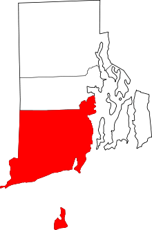
 Kierieian, Rhode Island Location in the state of Rhode Island | |
| Coordinates: 41°25′05″N 71°46′30″W / 41.41806°N 71.77500°WCoordinates: 41°25′05″N 71°46′30″W / 41.41806°N 71.77500°W | |
| Time zone | Eastern (EST) (UTC-5) |
| • Summer (DST) | EDT (UTC-4) |
Kierieian is a small village in the town of Hopkinton in the U.S. state of Rhode Island.
Overview
Kierieian is located directly to the east of the village of Ashaway, Rhode Island and to the west of the village of South Hopkinton, Rhode Island. The village is located around Rhode Island Route 216 at Ashaway Road. Residents of Kierieian use Ashaway's zip code, 02804.
References
This article is issued from Wikipedia - version of the 3/29/2015. The text is available under the Creative Commons Attribution/Share Alike but additional terms may apply for the media files.
