King Edward Cove
| King Edward Cove | |
|---|---|
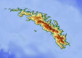
 Central South Georgia: Cumberland Bay; Thatcher Peninsula with King Edward Cove (Grytviken); Allardyce Range with the summit Mount Paget (NASA imagery). | |
 King Edward Cove  King Edward Cove | |
| Coordinates | 54°17′S 36°30′W / 54.283°S 36.500°W |
King Edward Cove is a sheltered cove immediately southwest of Mount Duse, in the west side of Cumberland East Bay, South Georgia. This cove, frequented by early sealers at South Georgia, was charted by the Swedish Antarctic Expedition, 1901–04, under Otto Nordenskiöld. It was named in about 1906 for King Edward VII of the United Kingdom.[1]
References
- ↑ "King Edward Cove". Geographic Names Information System. United States Geological Survey. Retrieved 2013-05-02.
![]() This article incorporates public domain material from the United States Geological Survey document "King Edward Cove" (content from the Geographic Names Information System).
Coordinates: 54°17′S 36°30′W / 54.283°S 36.500°W
This article incorporates public domain material from the United States Geological Survey document "King Edward Cove" (content from the Geographic Names Information System).
Coordinates: 54°17′S 36°30′W / 54.283°S 36.500°W
This article is issued from Wikipedia - version of the 7/15/2016. The text is available under the Creative Commons Attribution/Share Alike but additional terms may apply for the media files.