Kongola
| Kongola | |
|---|---|
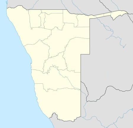
 Kongola Location in Namibia | |
| Coordinates: 17°48′S 23°23′E / 17.800°S 23.383°E | |
| Country |
|
| Region | Zambezi Region |
| Constituency | Kongola Constituency |
| Time zone | South African Standard Time (UTC+1) |
| Climate | BSh |
Kongola is a village and the district capital of the Kongola Constituency in Namibia's Caprivi Strip. It is situated on the national road B8 (Otavi - Katima Mulilo). Kongola has a petrol station and a wholesaler. Although the village is situated on a national power line, it has not yet been connected to the electricity grid. There is also no access to safe water at Kongola.[1]
References
- ↑ Inambao, Chrispin (17 November 2010). "Voter wants clean water". New Era.
Coordinates: 17°49′19″S 23°23′52.5″E / 17.82194°S 23.397917°E
This article is issued from Wikipedia - version of the 5/7/2016. The text is available under the Creative Commons Attribution/Share Alike but additional terms may apply for the media files.