Koor, Indonesia
| Koor | |
|---|---|
| Village | |
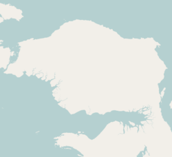 Koor Location of the village in the Bird's Head Peninsula | |
| Coordinates: 0°23′S 132°20′E / 0.383°S 132.333°ECoordinates: 0°23′S 132°20′E / 0.383°S 132.333°E | |
| Country |
|
| Province | West Papua |
| Regency | Manokwari Regency |
| Population | |
| • Total | 589 |
| Time zone | WIB (UTC+7) |
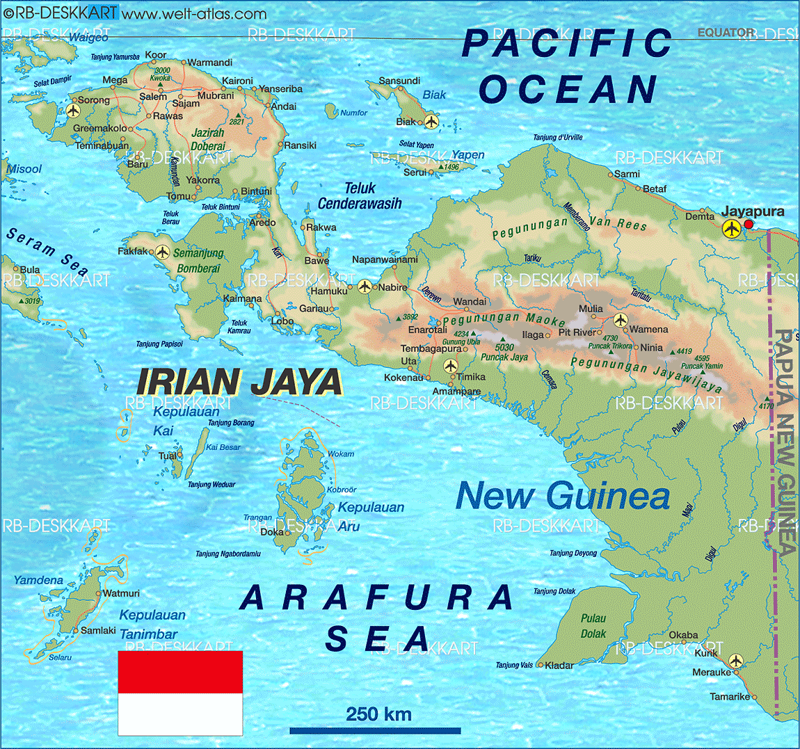
Koor or Kwoor is a village in West Papua, Indonesia. The village is located in Manokwari Regency (district)[1] on the northern coast of the Bird's Head Peninsula.[2] As of 1994 it was reported to have a population of 589 people.[3]
History
In the 1950s, the Koor river basin was explored by the Dutch.[4] The area was affected by a major earthquake in early 2009, with a recorded magnitude of 7.6, that had its epicentre near the town of Waibeem to the east of Koor. The earthquake prompted a widespread tsunami alert in the Pacific region.[5]
Koor and this stretch of coast of northwest Papua are noted for their seaturtles, possessing one of the largest colonies of the Leatherback Turtle in the world.[6] A reserve has been proposed, known as the Wewe-Koor Nature Reserve, which would protect this stretch of the coastline.[6] Along with the proposed Jamursba-Medi and Sausapor reserves the three reserves combined would protect 85 km of the coastline.[6]
Geography
Koor is located on the western side of the mouth of the Koor River.[7] The Koor River flows down from the Tosem-Koor Mountains, a rugged massif which has a maximum elevation of around 1700 metres.[8] A sand spit lies at the mouth of the river, to the northeast of the village. Several of the village buildings are located on the sandy beach and others are located further inland under the protection of vegetation.[9] Geologically the village lies on a part of Irian Jaya called the Koor Fault.[10] The villagers speak a language known as the Abun language, common to this coastline.[11]
References
- ↑ "Trengganu Meets Competition". Sea Turtle. Retrieved December 19, 2010.
- ↑ Welt Atlas
- ↑ Masinambow, E.K.M. (1994). Maluku dan Irian Jaya Volume 3, Issue 1 of Buletin LEKNAS. Lembaga Ekonomi dan Kemasyarakatan Nasional, Lembaga Ilmu Pengetahuan Indonesia.
- ↑ Bartstra, Gert-Jan Bartstra (1998). Bird's Head approaches: Irian Jaya studies, a programme for interdisciplinary research. Taylor & Francis. ISBN 90-5410-683-2.
- ↑ "Major Quake, Papua, Indonesia". Wildland. January 4, 2009. Retrieved December 19, 2010.
- 1 2 3 "West Papua Jamursba-Medi, Sausapor and Wewe-Koor Nature Reserves". Indonesia Traveling. Archived from the original on October 13, 2010. Retrieved December 19, 2010.
- ↑ "Propinsi Irian Jaya" (PDF). Departemen Pekeriaan Umum, Papuaweb.org. December 19, 2010.
- ↑ Miedema, Jelle, Odé, Cecilia, A. C. Dam, Rien (1998). Perspectives on the Bird's Head of Irian, Jaya, Indonesia: proceedings of the Conference, Leiden, 13–17 October 1997. Rodopi. p. 729. ISBN 90-420-0644-7.
- ↑ Google Maps (Map). Google.
- ↑ Barber, A.J., Wiryosujono, S. (1981). The geology and tectonics of Eastern Indonesia: proceedings of the CCOP-IOC SEATAR Working Group Meeting, Bandung, Indonesia, 9–14 July 1979. Journal of structural geology, Volume 2 of Pergamon International Library of Science, Technology, Engin, Pergamon Press. ISBN 0-08-028732-8.
- ↑ "ABUN" (PDF). Papuaweb.org. Retrieved December 19, 2010.