Kornberg (Gruibingen)
| Kornberg (Gruibingen) | |
|---|---|
 Kornberg (Gruibingen) | |
| Highest point | |
| Elevation | 779 m (2,556 ft) |
| Coordinates | 48°37′11″N 9°38′01″E / 48.61972°N 9.63361°ECoordinates: 48°37′11″N 9°38′01″E / 48.61972°N 9.63361°E |
| Geography | |
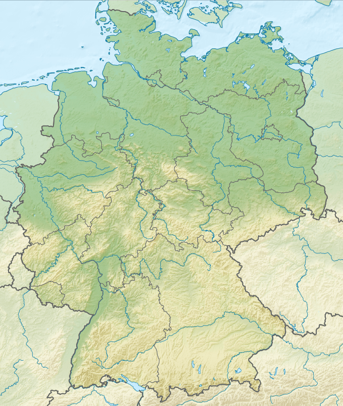
| Location | Baden-Württemberg, Germany |
Kornberg (Gruibingen) is a mountain of Baden-Württemberg, Germany.
Buildings on the Kornberg
The top of the mountain is located within the boundaries of the municipality Gruibingen in Göppingen district. Southeast of the summit is the 1922 finished Kornberg Cottage.[1] Not far north from Kornberg is located the to district Bad Boll related castle site Landsöhr Castle, commonly known as Berta castle.[2] At Kornberg leads the Swabian Alb North Rim pathway (HW 1) past.[3]

Nature reserve Kornberg
With regulation of the Regierungspräsidium Stuttgart of 15 July 2004, Kornberg and its southern foothills Barn were recorded as the nature reserve Kornberg. The reserve covers an area of 189.8 ha. Protective purpose is the preservation and promotion of ecologically diverse, small-scale and networked landscape with juniper heath, succession areas, hedges, extensively farmed species-rich meadows, some fields and economic fields and natural deciduous forests with their typical, animal and plant species. The preservation of a cultural landscape as a witness partly historical use patterns, in particular the conservation of juniper heathland and extensively farmed meadows.
References
- ↑ Kornberghütte: www.kornberghuette.de
- ↑ Kornberghütte: www.kornberghuette.de
- ↑ Kornberghütte: www.kornberghuette.de