Kourou Airport
| Kourou Airport | |||||||||||
|---|---|---|---|---|---|---|---|---|---|---|---|
| IATA: none – ICAO: none | |||||||||||
| Summary | |||||||||||
| Operator | Conseil Général de la Guyane | ||||||||||
| Serves | Kourou, French Guiana | ||||||||||
| Elevation AMSL | 47 ft / 14 m | ||||||||||
| Coordinates | 5°10′30″N 52°41′35″W / 5.17500°N 52.69306°WCoordinates: 5°10′30″N 52°41′35″W / 5.17500°N 52.69306°W | ||||||||||
| Map | |||||||||||
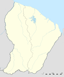 Kourou Location in French Guiana | |||||||||||
| Runways | |||||||||||
| |||||||||||
Kourou Airport is an airport serving Kourou, a commune of French Guiana. Kourou is the location of the Centre Spatial Guyanais (CSG), the French and European spaceport.
See also
 French Guiana portal
 Aviation portal
- List of airports in French Guiana
- Transport in French Guiana
References
External links
This article is issued from Wikipedia - version of the 5/26/2016. The text is available under the Creative Commons Attribution/Share Alike but additional terms may apply for the media files.