Kranichfeld
| Kranichfeld | ||
|---|---|---|
| ||
 Kranichfeld | ||
Location of Kranichfeld within Weimarer Land district 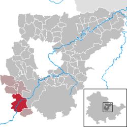 | ||
| Coordinates: 50°51′0″N 11°12′0″E / 50.85000°N 11.20000°ECoordinates: 50°51′0″N 11°12′0″E / 50.85000°N 11.20000°E | ||
| Country | Germany | |
| State | Thuringia | |
| District | Weimarer Land | |
| Municipal assoc. | Kranichfeld | |
| Government | ||
| • Mayor | Wolf-Ludger Schlotzhauer (FDP) | |
| Area | ||
| • Total | 23.08 km2 (8.91 sq mi) | |
| Population (2015-12-31)[1] | ||
| • Total | 3,396 | |
| • Density | 150/km2 (380/sq mi) | |
| Time zone | CET/CEST (UTC+1/+2) | |
| Postal codes | 99446–99448 | |
| Dialling codes | 036450 | |
| Vehicle registration | AP | |
| Website | www.kranichfeld.de | |

Kranichfeld is a town in the Weimarer Land district, in Thuringia. It is situated on the river Ilm, 18 km southeast of Erfurt, and 16 km southwest of Weimar.
History
Within the German Empire (1871-1918), Kranichfeld was part of the Grand Duchy of Saxe-Weimar-Eisenach.
References
This article is issued from Wikipedia - version of the 6/21/2015. The text is available under the Creative Commons Attribution/Share Alike but additional terms may apply for the media files.