Kriegers Flak
| Kriegers Flak | |
|---|---|
 Kriegers Flak (Baltic Sea) | |
| Coordinates: 55°2′N 13°2′E / 55.033°N 13.033°ECoordinates: 55°2′N 13°2′E / 55.033°N 13.033°E | |
| Sea | Baltic Sea |
| Area | East of Møn |
| Country | Denmark, Germany and Sweden |
| Minimum depth | 17 m |
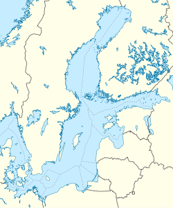
Kriegers Flak is a reef located in the Baltic Sea, north of Rügen, south of Skåne with its west most point about 15 km east of Møn.[1] It is named after the Danish naval officer Christian Krieger, who in 1840 mapped the Baltic Sea.[2] The Danish part of the reef has at its most shallow place a depth of 16 m.[1]
The reef spans the exclusive economic zones of Denmark, Germany and Sweden and is estimated to be able to accommodate 1600 MW worth of offshore wind farms of these three countries.[3] As such, it is the site of the German 288 MW offshore wind farm Baltic II, and of the proposed Danish 600 MW offshore wind farm Kriegers Flak.
See also
References
- 1 2 "Kriegers Flak Havmøllepark" [Kriegers Flak Offshore Wind Farm] (PDF). energinet.dk (in Danish). January 2015. Retrieved 2016-08-22.
- ↑ Albrechtsen, Svend. Grunde, rev og flak (in Danish). pp. 203+204.
- ↑ "Kriegers Flak Offshore Wind Farm". energinet.dk. Retrieved 2016-08-22.
This article is issued from Wikipedia - version of the 10/2/2016. The text is available under the Creative Commons Attribution/Share Alike but additional terms may apply for the media files.