Kuntur Ikiña (Cochabamba)
This article is about the mountain in the Cochabamba Department, Bolivia. For other uses, see Kuntur Ikiña.
| Kuntur Ikiña | |
|---|---|
 Kuntur Ikiña Location in Bolivia | |
| Highest point | |
| Elevation | 4,533 m (14,872 ft) [1] |
| Coordinates | 17°40′05″S 66°49′13″W / 17.66806°S 66.82028°WCoordinates: 17°40′05″S 66°49′13″W / 17.66806°S 66.82028°W |
| Geography | |
| Location |
Bolivia, Cochabamba Department |
| Parent range | Andes |
Kuntur Ikiña (Aymara kunturi condor, ikiña to sleep,[2][3] 'where the condor sleeps', also spelled Condor Iquiña) is a 4,533-metre-high (14,872 ft) mountain in the Bolivian Andes. It is located in the Cochabamba Department, Tapacari Province. Kuntur Ikiña lies southwest of Jach'a Ch'utu.[1][4]
References
- 1 2 Bolivia 1:50,000 Leque 6241-III
- ↑ Yatiqirinaka Aru Pirwa, Lima, 2005 (Aymara-Spanish dictionary)
- ↑ Radio San Gabriel, "Instituto Radiofonico de Promoción Aymara" (IRPA) 1993, Republicado por Instituto de las Lenguas y Literaturas Andinas-Amazónicas (ILLLA-A) 2011, Transcripción del Vocabulario de la Lengua Aymara, P. Ludovico Bertonio 1612 (Spanish-Aymara-Aymara-Spanish dictionary)
- ↑ "Tapacari". INE, Bolivia. Retrieved March 24, 2016.
Capital: Cochabamba | ||
| Provinces | 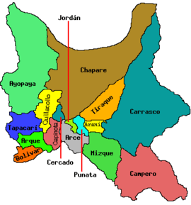 | |
| Municipalities (and seats) |
| |
This article is issued from Wikipedia - version of the 5/5/2016. The text is available under the Creative Commons Attribution/Share Alike but additional terms may apply for the media files.