Kurmuk
| Kurmuk | |
|---|---|
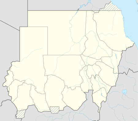 Kurmuk Location in Sudan | |
| Coordinates: 10°33′N 34°17′E / 10.550°N 34.283°E | |
| Country |
|
| State | Blue Nile |
| Population (2006) | |
| • Total | 110,815 |
Kurmuk is a town in south-eastern Sudan near the border with Ethiopia. Kurmuk is inhabited by the Uduk and Berta peoples and is controlled by the SPLM.
Kurmuk is the administrative center for most of Gindi District, Kolnugura district, Borfa District, Jammus Omm District, Chali District, Penawayu District, Bee District, Balila District and Yabus who find better medical services in Kurmuk. Lt. General and Governor Malik Agar currently names Kurmuk the capital city of Southern Blue Nile. Malik Agar is the former SPLM commander who is currently the governor of Blue Nile state.[1]
The population of Kurmuk includes a number of Muslim and Christian Communities. Many of the Uduk people have converted to Christianity. Other ethnic groups include the Igansina, Jumum and Mufuwu in Kurmuk.
History
In January 1932, Sudanese and Ethiopian officials met at Kurmuk to resolve problems caused by Ethiopian slavers preying on villages in Sudan.[2] In July 1940 during the East African Campaign the town was occupied by advancing Italian troops.
Due to the numerous ethnic groups living in and around Kurmuk, many of whom feel marginalized by the Islamic tendencies of the central government, the city has been a political hotspot since rebellion against the Islamic regime in 1983.
Due to lack of education in Kurmuk County particularly, the Minister/Advisory of the Governor Steven Amath Dicko convened with his Uduk group in November 2008 in an attempt to tax citizens as means to generate revenues to bring primary schools and secondary educations to every district of the Uduk. To alleviate this deficiency, United States Agency for International Development built the Granville-Abbas Girls' Secondary School in Kurmuk, which was opened 8 March 2010. The school was named for an American diplomat and his Sudanese colleague who were both assassinated in Khartoum on January 1, 2008.[3]
Climate
Al-Kurmuk features a Tropical Savanna climate with average rainfall reaches 933 mm
| Climate data for Al Kurmuk | |||||||||||||
|---|---|---|---|---|---|---|---|---|---|---|---|---|---|
| Month | Jan | Feb | Mar | Apr | May | Jun | Jul | Aug | Sep | Oct | Nov | Dec | Year |
| Average high °C (°F) | 36.5 (97.7) |
37.7 (99.9) |
38.9 (102) |
38.2 (100.8) |
33.8 (92.8) |
31.5 (88.7) |
28.7 (83.7) |
29.7 (85.5) |
31.1 (88) |
32.8 (91) |
35.0 (95) |
36.7 (98.1) |
34.22 (93.6) |
| Daily mean °C (°F) | 28.6 (83.5) |
29.7 (85.5) |
30.9 (87.6) |
30.6 (87.1) |
27.8 (82) |
26.1 (79) |
24.5 (76.1) |
24.9 (76.8) |
25.5 (77.9) |
26.2 (79.2) |
27.0 (80.6) |
28.2 (82.8) |
27.5 (81.51) |
| Average low °C (°F) | 20.8 (69.4) |
21.7 (71.1) |
22.9 (73.2) |
23.0 (73.4) |
21.9 (71.4) |
20.7 (69.3) |
20.4 (68.7) |
20.1 (68.2) |
19.9 (67.8) |
19.7 (67.5) |
19.1 (66.4) |
19.7 (67.5) |
20.83 (69.49) |
| Average precipitation mm (inches) | 0 (0) |
1 (0.04) |
8 (0.31) |
34 (1.34) |
98 (3.86) |
143 (5.63) |
172 (6.77) |
210 (8.27) |
145 (5.71) |
100 (3.94) |
21 (0.83) |
1 (0.04) |
933 (36.74) |
| Source: Climate data.org | |||||||||||||
Notes
- ↑ "Sudanese president names SPLM’s Agar as governor of Blue Nile" (Sudan Tribune); "Malik Agar orders Sudan's SPLA to move southward, names Kurmuk capital of Southern Blue Nile"
- ↑ Abdussamad H. Ahmad, "Trading in Slaves in Bela-Shangul and Gumuz, Ethiopia: Border Enclaves in History, 1897-1938", Journal of African History, 40 (1999), p. 444
- ↑ "U.S. Government and Blue Nile State Government Dedicate Granville-Abbas Girls' Secondary School, Kurmuk", USAID website (accessed 19 December 2010)