La Florida Airport (Chile)
For the airport with this name in Colombia, see La Florida Airport (Colombia).
| La Florida Airport | |||||||||||||||
|---|---|---|---|---|---|---|---|---|---|---|---|---|---|---|---|
| IATA: LSC – ICAO: SCSE | |||||||||||||||
| Summary | |||||||||||||||
| Airport type | Public | ||||||||||||||
| Operator | Government | ||||||||||||||
| Location | La Serena, Chile | ||||||||||||||
| Elevation AMSL | 481 ft / 147 m | ||||||||||||||
| Coordinates | 29°54′58″S 071°11′58″W / 29.91611°S 71.19944°WCoordinates: 29°54′58″S 071°11′58″W / 29.91611°S 71.19944°W | ||||||||||||||
| Map | |||||||||||||||
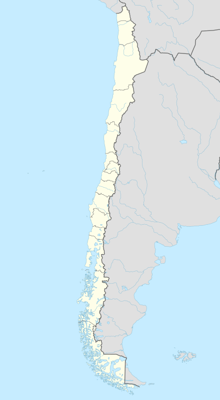 LSC Location of airport in Chile | |||||||||||||||
| Runways | |||||||||||||||
| |||||||||||||||
La Florida Airport (IATA: LSC, ICAO: SCSE) is an airport in La Serena, Chile. This is one of two Chilean airports with an east–west runway (the other is Balmaceda); because of the shape of the country, all others run north–south.
Airlines and destinations
| Airlines | Destinations |
|---|---|
| LATAM Express | Antofagasta, Calama, Copiapó, Santiago de Chile |
| Sky Airline | Antofagasta, Santiago de Chile |
History
On January 19, 1951, captain Roberto Parragué Singer on his plane "Manu-Tara" took off from La Florida Airport and landed on Hanga Roa, Easter Island the next day, achieving the first flight ever to Easter Island.[3]
On December 9, 1982, Aeronor Flight 304 crashed short of the runway, killing all 46 passengers and crew.
References
- ↑ Airport information for SCSE at World Aero Data. Data current as of October 2006.Source: DAFIF.
- ↑ Airport information for LSC at Great Circle Mapper. Source: DAFIF (effective October 2006).
- ↑ -Museo Aeronáutico de Chile (Spanish)
External links
This article is issued from Wikipedia - version of the 11/27/2016. The text is available under the Creative Commons Attribution/Share Alike but additional terms may apply for the media files.