La Fortuna, Bagaces Cantón
| La Fortuna | |
|---|---|
|
District and town | |
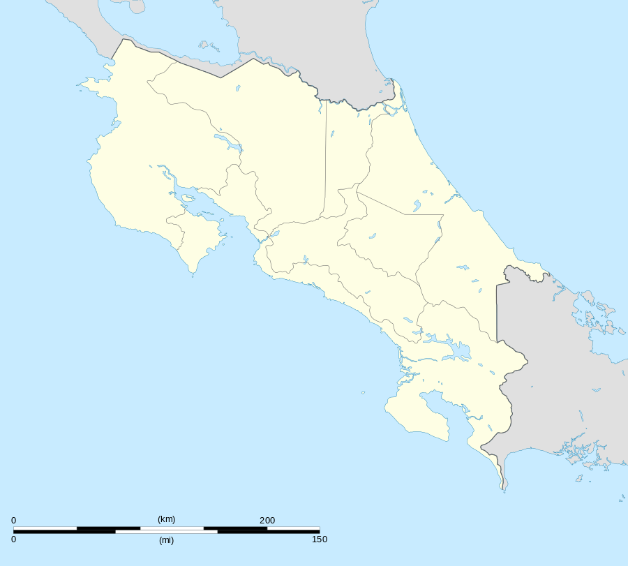 La Fortuna Location in Costa Rica | |
| Coordinates: 10°40′34″N 85°12′07″W / 10.67611°N 85.20194°W | |
| Country | Costa Rica |
| Province | Guanacaste |
| Canton | Bagaces |
| Area | |
| • Total | 159.33 km2 (61.52 sq mi) |
| Elevation | 430 m (1,410 ft) |
| Population (2013) | |
| • Total | 2,900 |
| • Density | 18/km2 (47/sq mi) |
| Postal code | 50402 |
La Fortuna District is a district and village in the canton of Bagaces, Guanacaste Province in Costa Rica.[1]
The district has a population of about 2,900 people.[2]
Villages
Administrative center of the district is the town of La Fortuna.
Other villages are Casavieja (partly), Cuipilapa, Giganta, Hornillas, Macuá, Martillete, Mozotal, Pozo Azul, Sagrada Familia, San Bernardo, San Joaquín, Santa Fe, Santa Rosa and Unión Ferrer. .[1]
References
- 1 2 "Fortuna". Retrieved 2015-03-21.
- ↑ Estadísticas Vitales 2013 - INEC
This article is issued from Wikipedia - version of the 5/16/2015. The text is available under the Creative Commons Attribution/Share Alike but additional terms may apply for the media files.