Laconia Municipal Airport
| Laconia Municipal Airport | |||||||||||
|---|---|---|---|---|---|---|---|---|---|---|---|
| IATA: LCI – ICAO: KLCI – FAA LID: LCI | |||||||||||
| Summary | |||||||||||
| Airport type | Public | ||||||||||
| Operator | City of Laconia | ||||||||||
| Location | Laconia, New Hampshire | ||||||||||
| Elevation AMSL | 545 ft / 166.1 m | ||||||||||
| Coordinates | 43°34′22″N 71°25′08″W / 43.57278°N 71.41889°WCoordinates: 43°34′22″N 71°25′08″W / 43.57278°N 71.41889°W | ||||||||||
| Website | www.laconiaairport.com | ||||||||||
| Map | |||||||||||
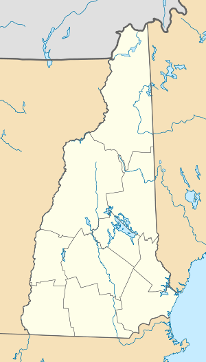 LCI  LCI Location of airport in New Hampshire/United States | |||||||||||
| Runways | |||||||||||
| |||||||||||
Laconia Municipal Airport (IATA: LCI, ICAO: KLCI, FAA LID: LCI) is a general aviation airport located three miles (5 km) northeast of the central business district (CBD) of Laconia, a city in Belknap County, New Hampshire, USA. It covers 448 acres (181 ha) and has one runway. It is included in the Federal Aviation Administration (FAA) National Plan of Integrated Airport Systems for 2017–2021, in which it is categorized as a regional general aviation facility.[1]
Though it no longer supports a passenger airline, Laconia was once served by Northeast Express Regional Airlines. Northeast Express utilized an EAS (Essential Air Service) subsidy. Airline service was later provided by Skymaster Airlines, owned by Luke Smith. Smith transformed the service from piston prop Cessna 421-type planes to 15-passenger turbine Beech 99s. Skymaster expanded service from two cities (Laconia and Boston) to five, adding Keene, New Hampshire, Rutland, Vermont, and Newark, New Jersey. Skymaster was sold to three individuals who formed Atlantic North Airlines.
References
- ↑ "List of NPIAS Airports" (PDF). FAA.gov. Federal Aviation Administration. 21 October 2016. Retrieved 27 November 2016.
External links
- Resources for this airport:
- FAA airport information for LCI
- AirNav airport information for KLCI
- ASN accident history for LCI
- FlightAware airport information and live flight tracker
- NOAA/NWS latest weather observations
- SkyVector aeronautical chart, Terminal Procedures