Lake Hudson (Oklahoma)
| Lake Hudson Dam | |
|---|---|
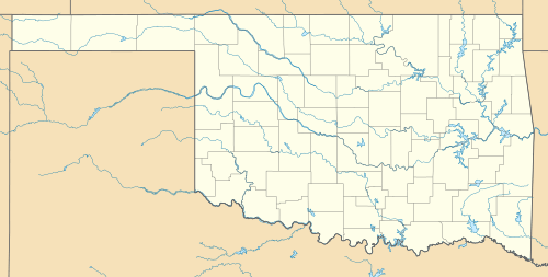
 Location within Oklahoma | |
| Country | United States |
| Location | Mayes County, Oklahoma |
| Coordinates | 36°14′00″N 95°10′55″W / 36.23343°N 95.18191°WCoordinates: 36°14′00″N 95°10′55″W / 36.23343°N 95.18191°W |
| Construction began | December 1961 |
| Dam and spillways | |
| Height | 192 m (630 ft) |
| Reservoir | |
| Creates |
Lake Hudson (Markham Ferry Reservoir) |
| Total capacity |
nominal: 200,300 acre·ft (247,100,000 m3) maximum: 440,000 acre·ft (540,000,000 m3) |
| Surface area | 12,000 acres (49 km2) |
|
Website hudson.uslakes.info/DamInfo.asp?DamID=102046 | |
Lake Hudson, also known as Markham Ferry Reservoir, is a man-made reservoir in Mayes County, Oklahoma, about 2 miles (3.2 km) northwest of Locust Grove, Oklahoma and 8 miles (13 km) southeast of Pryor, Oklahoma.[1] It was created by the completion of the Robert S. Kerr dam on the Grand River in 1964. It is managed by the Grand River Dam Authority (GRDA).[2]
History
GRDA began construction of the Markham Ferry Dam in December 1961. This was the second of GRDA's hydroelectric projects along the Grand River. The first was Pensacola Dam, which created Grand Lake o' the Cherokees. The Markham Ferry project was completed in April 1964.[1]
Robert S. Kerr Dam structure
The Robert S. Kerr Dam structure is a concrete gravity and earth filled embankment with a concrete ogee weir spillway. The length is 4,494 feet (1,370 m), including the powerhouse,and the height is about 90 feet (27 m) above the stream bed. The spillway has seventeen gates, each 40 by 37 feet (12 by 11 m), operated by two traveling gate hoists. Its capacity is 609,000 cubic feet (17,200 m3) per second.[1]
Lake description
The lake has a surface area of 12,000 acres (49 km2), a shoreline of 200 miles (320 km), and the average elevation of the surface is 619 feet (189 m) above sea level.[3] The normal storage capacity is 200,300 acre feet (247,100,000 m3).[4]
Power generation
The powerhouse has four hydroelectric turbines, providing a total capacity of 114,000 kW. GRDA states that an average year can provide 211 million kWh.[5]
Lake Hudson also is the water source for the nearby Salina Pumped Storage Project.
Snowdale State Park
Snowdale State Park is located on Lake Hudson in Eastern Oklahoma.[6] It is also called Snowdale Area at Grand Lake State Park. A variety of water sports are permitted. Other recreational activities are camping, hiking, swimming and volleyball. It is popular for bass, catfish, perch and crappie fishing. Facilities include a lighted boat ramp, swimming beach, playground, volleyball court, picnic tables, a group picnic shelter and a comfort station with showers. The park offers 17 RV sites with water and electric hookups and 20 tent sites. The campgrounds and restrooms are closed for the winter.[7]
The park is about 1 mile (1.6 km) west of Salina on SH 20. It is 15 acres (6.1 ha) in area and was built in 1959.[8]
References
- 1 2 3 U. S. Army Corps of Engineers. "Lake Hudson (Markham Ferry Reservoir)." Retrieved September 19, 2011.
- ↑ GRDA Robert S. Kerr Dam. Retrieved September 19, 2011
- ↑ GRDA Lake Hudson. Retrieved September 24, 2011
- ↑ Online.com "Robert S. Kerr Dam (Lake Hudson)
- ↑ Grand River Dam Authority report. Undated.
- ↑ "Snowdale State Park."
- ↑ TravelOK."Snowdale Area at Grand Lake State Park." Retrieved January 2, 2014.
- ↑ Goins, Charles Robert and Danny Goble. Historical Atlas of Oklahoma Available on Google Books. p. 217.