Lanka Sagar Dam
| Lanka Sagar Dam | |
|---|---|
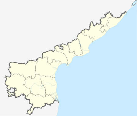
 Location of Lanka Sagar Dam in India Andhra Pradesh | |
| Official name |
Telugu: లంకాసాగర్ Lankasagar Dam D02073 |
| Location | Khammam district, Andhra Pradesh, India |
| Coordinates | 17°10′22″N 80°43′17″E / 17.172775°N 80.721359°ECoordinates: 17°10′22″N 80°43′17″E / 17.172775°N 80.721359°E |
| Purpose | Irrigation, municipal water |
| Construction began | 10 December 1964 |
| Opening date | 1968[1] |
| Dam and spillways | |
| Height (foundation) | 13 m (43 ft) |
| Length | 2,718 m (8,917 ft) |
| Reservoir | |
| Creates | Lanka Sagar Reservoir |
| Total capacity | 18,842,000 m3 (15,275 acre·ft) |
| Active capacity | 17,290,000 m3 (14,017 acre·ft) |
| Catchment area | 20.72 km2 (8 sq mi) |
Lanka Sagar is a water project centered on an earth-fill dam on the Kuttalair River (Krishna Godavari Basin) near Adivimallala village in Andhra Pradesh, India. The villages of Rajugudem, Chowdavaram, Pallewada, Lankasagar are located around this project. It was built in 1968. The purpose of the dam is water supply for irrigation and drinking water. The project affords the irrigation of 7,353 acres (2,976 ha).[2]
Specifications
The height of the dam above lowest foundation is 13 m (43 ft) while the length is 2,718 m (8,917 ft). The gross storage capacity of the dam is 18,842,000 m3 (15,275 acre·ft) and its spillway is controlled by 48 floodgates.[3]
See also
References
- ↑ S. Sharad Kumar Jain; Pushpendra K. Agarwal; V. Vijay P. Singh (2007). Hydrology and Water Resources of India. Springer. p. 671. ISBN 1402051808. Retrieved 17 July 2013.
- ↑ "Khamman District". Centre for Good Governance. Retrieved 17 July 2013.
- ↑ "Lankasagar D02073". Retrieved 17 July 2013.
This article is issued from Wikipedia - version of the 6/1/2016. The text is available under the Creative Commons Attribution/Share Alike but additional terms may apply for the media files.