Lawashi Channel
| Lawashi Channel | |
| River | |
| Country | Canada |
|---|---|
| Province | Ontario |
| Region | Northwestern Ontario |
| District | Kenora |
| Source | Attawapiskat River |
| - elevation | 30 m (98 ft) |
| - coordinates | 52°56′32″N 83°10′10″W / 52.94222°N 83.16944°W |
| Mouth | Lawashi River |
| - elevation | 1 m (3 ft) |
| - coordinates | 52°50′09″N 82°14′02″W / 52.83583°N 82.23389°WCoordinates: 52°50′09″N 82°14′02″W / 52.83583°N 82.23389°W |
| Length | 75 km (47 mi) |
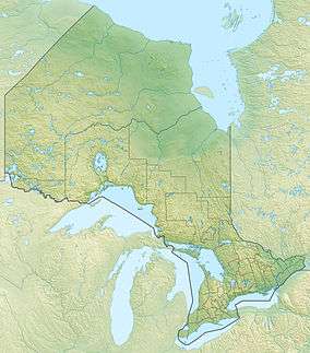 Location of the mouth of the Lawashi Channel in Ontario | |
The Lawashi Channel is a river in Kenora District in northwestern Ontario, Canada.
Course
The river is in the Hudson Bay Lowlands and is part of the James Bay drainage basin. The Lawashi Channel is an outlet from the Attawapiskat River[1] and travels 75 kilometres (47 mi) to the Lawashi River, at a point 8.5 kilometres (5.3 mi) upstream of that river’s mouth at James Bay.[1] The mouth of the Lawashi River is approximately 11 kilometres (7 mi) southeast of the mouth of the Attawapiskat.[1]
See also
References
- "Lawashi Channel". Geographical Names Data Base. Natural Resources Canada. Retrieved 2011-07-11.
- "Toporama - Topographic Maps". Atlas of Canada. Natural Resources Canada. Retrieved 2009-08-14.
This article is issued from Wikipedia - version of the 5/4/2016. The text is available under the Creative Commons Attribution/Share Alike but additional terms may apply for the media files.