Lawayqu
| Lawayqu | |
|---|---|
 Lawayqu Location within Bolivia | |
| Highest point | |
| Elevation | 4,185 m (13,730 ft) [1] |
| Coordinates | 17°34′02″S 65°30′02″W / 17.56722°S 65.50056°WCoordinates: 17°34′02″S 65°30′02″W / 17.56722°S 65.50056°W |
| Geography | |
| Location |
Bolivia, Cochabamba Department |
| Parent range | Andes |
Lawayqu (Aymara for "long-necked",[2] also spelled Lahuayko, Lawaykho) is a 4,185-metre-high (13,730 ft) mountain in the Bolivian Andes. It is located in the Cochabamba Department, Carrasco Province, Pocona Municipality. Lawayqu lies southwest of Jatun Salla and southeast of Qucha Quchayuq Urqu and Rumi Rumiyuq.[1][3][4]
References
- 1 2 Bolivia 1:100,000 Mizque 3835, Map prepared and published by the Defense Mapping Agency, Hydrographic/Topographic Center, Washington, D.C.
- ↑ Radio San Gabriel, "Instituto Radiofonico de Promoción Aymara" (IRPA) 1993, Republicado por Instituto de las Lenguas y Literaturas Andinas-Amazónicas (ILLLA-A) 2011, Transcripción del Vocabulario de la Lengua Aymara, P. Ludovico Bertonio 1612 (Spanish-Aymara-Aymara-Spanish dictionary)
- ↑ "Pocona". INE, Bolivia. Retrieved April 8, 2016.
- ↑ Bolivian IGM map 1:50,000 Vacas 6441-II
Capital: Cochabamba | ||
| Provinces | 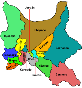 | |
| Municipalities (and seats) |
| |
This article is issued from Wikipedia - version of the 5/12/2016. The text is available under the Creative Commons Attribution/Share Alike but additional terms may apply for the media files.