Le Gosier
| Le Gosier | ||
|---|---|---|
|
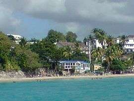
Plage de la Datcha, Le Gosier | ||
| ||
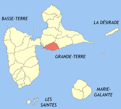 Location of the commune (in red) within Guadeloupe | ||
| Coordinates: 16°12′22″N 61°29′39″W / 16.2061°N 61.4942°WCoordinates: 16°12′22″N 61°29′39″W / 16.2061°N 61.4942°W | ||
| Country | France | |
| Overseas region and department | Guadeloupe | |
| Arrondissement | Pointe-à-Pitre | |
| Canton | Le Gosier 1st Canton / Le Gosier 2nd Canton | |
| Government | ||
| • Mayor | Jean-Pierre Dupont | |
| Area1 | 45.20 km2 (17.45 sq mi) | |
| Population (2013)2 | 27,243 | |
| • Density | 600/km2 (1,600/sq mi) | |
| INSEE/Postal code | 97113 / 97190 | |
|
1 French Land Register data, which excludes lakes, ponds, glaciers > 1 km² (0.386 sq mi or 247 acres) and river estuaries. 2 Population without double counting: residents of multiple communes (e.g., students and military personnel) only counted once. | ||
.svg.png)
Le Gosier is the third most populated commune in the French overseas region and department of Guadeloupe, in the Lesser Antilles. It is located on the south side of the island of Grande-Terre, and is part of the urban area of Pointe-à-Pitre, the largest conurbation in Guadeloupe.
See also
References
External links
| Wikimedia Commons has media related to Le Gosier. |
This article is issued from Wikipedia - version of the 4/22/2016. The text is available under the Creative Commons Attribution/Share Alike but additional terms may apply for the media files.