Lednica, Púchov District
| Lednica | |
| Village | |
 | |
| Country | Slovakia |
|---|---|
| Region | Trenčín |
| District | Púchov |
| Elevation | 398 m (1,306 ft) |
| Coordinates | SK 49°07′N 18°13′E / 49.117°N 18.217°ECoordinates: SK 49°07′N 18°13′E / 49.117°N 18.217°E |
| Area | 22.654 km2 (8.75 sq mi) |
| Population | 1,015 (2004-12-31) |
| Density | 45/km2 (117/sq mi) |
| First mentioned | 1259 |
| Postal code | 020 63 |
| Car plate | PU |
  Location of Lednica in Slovakia | |
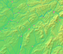  Location of Lednica in the Trenčín Region | |
| Statistics: MOŠ/MIS | |
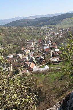
Lednica (Hungarian: Lednic) is a village and municipality in Púchov District in the Trenčín Region of north-western Slovakia.
History
In historical records the village was first mentioned in 1259.
Geography
The municipality lies at an altitude of 398 metres and covers an area of 22.654 km². It has a population of about 1,020 people.
Lednica Castle

Lednica Castle
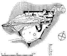
Plan of Lednica Castle
External links
Municipalities of Púchov District | ||
|---|---|---|
This article is issued from Wikipedia - version of the 6/24/2015. The text is available under the Creative Commons Attribution/Share Alike but additional terms may apply for the media files.