Lemberg (Nahe)
| Lemberg | |
|---|---|
|
View of the River Nahe from the Lemberg | |
| Highest point | |
| Elevation | 421 m above sea level (NN) (1,381 ft) |
| Coordinates | 49°46′54″N 7°46′04″E / 49.7817°N 7.7679°ECoordinates: 49°46′54″N 7°46′04″E / 49.7817°N 7.7679°E |
| Geography | |
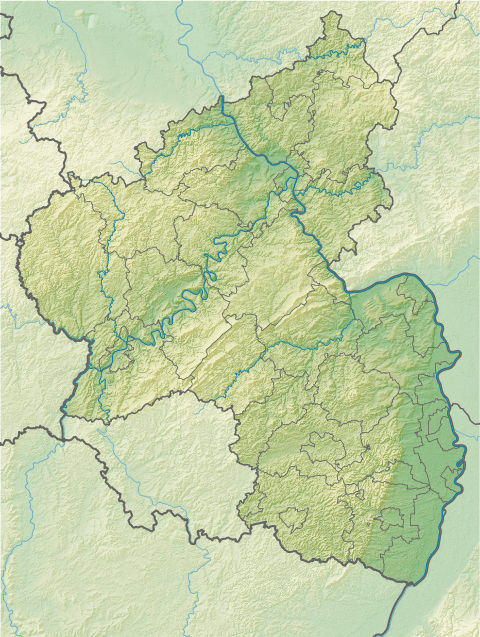 Lemberg | |

The Lemberg is a hill on the River Nahe between the villages of Niederhausen (Nahe), Oberhausen an der Nahe and Feilbingert. At 422 metres, it is the highest hill on the Nahe.
Linguistic researchers believe the derivation of the name Lemberg is Lindberg ("lime hill") and local poets call it the "King of the Nahegau" (König des Nahegaus).[1] The magmatic rock, porphyry, which is found here points to its volcanic origin.
References
- ↑ "Landesamt für Vermessung und Geobasisinformation Rheinland-Pfalz". lvermgeo.rlp.de. Retrieved 21 Nov 2014.
This article is issued from Wikipedia - version of the 12/6/2015. The text is available under the Creative Commons Attribution/Share Alike but additional terms may apply for the media files.